In August, I spent some weeks in Colombia, traveling with my research team as well as new connections who work for Instituto Humboldt, a research institution focused on biodiversity and environment in the country. After a few days in Bogotá—the dreary, high-elevation, but culturally energetic capital city, sometimes called "the fridge"—we left for the mid-size city of Montería and then for increasingly small towns (Ayapel, San Marcos) while making visits to some really small communities (Perú, Seheve, Belén, Caño Carate). At times, our academic team was essentially just watching Instituto Humboldt connect with people in these communities, trying to understand how the citizens of remote and poor parts of the country live their lives, and bring relevant issues back to the federal stage. I was also there to learn about the place directly and to collect some sediment cores with Jorge Salgado and his postdoc, Lily, to bolster research in the region that I did mostly from satellite imagery (NASA MODIS). With data from these cores, I can better understand how the surface dynamics that I see from space actually accumulate on the ground (with depth).
 From Smith, 1986. The array of "LAKES AND SWAMPS" above the "FORELAND BASIN" is the Mompox Depression.
The towns we visited are in the northern lowlands of the country, connected to the coast not so much by actual proximity but by cultural reverberations carried by the Río Magdalena, the corridor that transports much of Colombia upstream and downstream, from the central cordilleras to the Caribbean. Although Colombia's rugged topography and swampy terrain have made it a pioneer in aviation, transit via the river remains crucial for exports, particularly in petroleum and palm oil. Our visits focused on a vast region of interwoven wetlands, river channels, and shallow floodplain lakes across the confluences of the San Jorge, Cauca, and Magdalena rivers. The cultura region of the floodplains between the San Jorge and Cauca rivers is called La Mojana, but where these rivers flow into the mighty Magdalena, a more expansive lowland region is called the Momposina (Mompox) Depression by geologists.
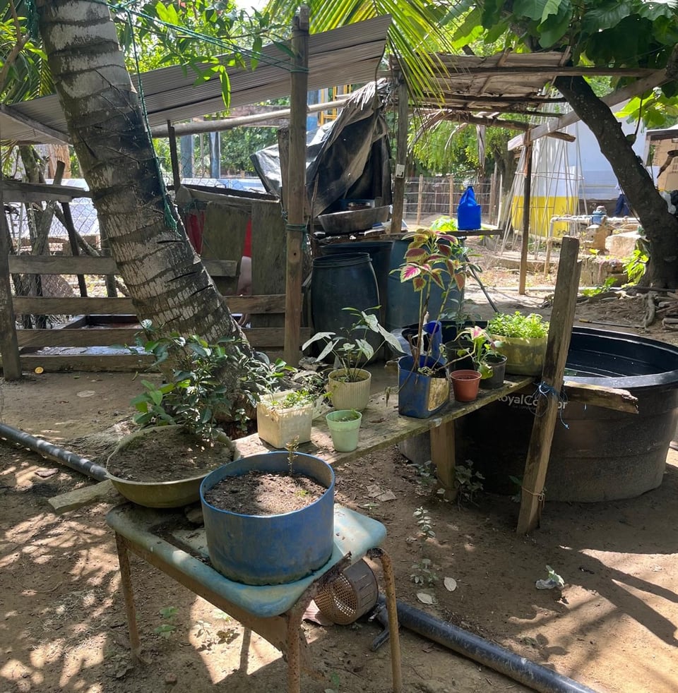
The small communities that we visited are sometimes literally backwaters, relegated to their a corner of the country that is both dusty and swampy, and they expressed feeling forgotten by the national leaders up in the mountains. Infrastructure is thin. Even the tourist hub of the region, a colonial-era town Santa Cruz de Mompox, is struggling to uphold its dignity against economic headwinds. It's a metaphor felt in every house, each regal estate fighting the decay of the tropical rains and heat. The soul of the place is far from lost, though: despite the daily sweltering sun, a welcome evening chill would eventually arrive, one small gust of cool wind at a time—and the languid energy of the day typically gave way into some after-dark vitality.
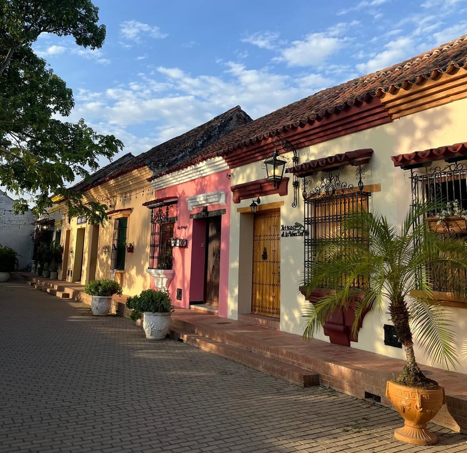
Over the past year I have struggled to grasp the enormity and nature of the Momposina from maps on my computer, across the globe from my little office in Stockholm. It will continue to escape me, the literature of Gabriel García Márquez notwithstanding: despite my weeks there I feel no more a sense of understanding, but rather a grander appreciation for how vast and nuanced it is. Some people call it an "inland delta," where the rivers slow and fragment into many channels, spilling over themselves in a shallow, shifting landscape. (Downstream, they combine into a single, powerful channel again, before discharging into the Caribbean Sea.) Our visits, which required extensive trips via bus, taxi, rickshaw, and boat, brought us to just a small set of the true constellation of communities across the region. Although there are some large palm plantations, for most the economy seems to depend on fisheries, ranching, and small-scale agriculture. All of this is shifting, however, under extensive industrial fishing, changing river hydrology (flooding) with climate change, plus high pollution and sediment loads caused by illegal gold mining further upstream.
 In the satellite image above from Jan 1, 2021, we can see the Cauca river, (quite yellow/tan in color), flowing northward until it combines with the Magdalena (darker, difficult to see). Many shallow lakes—or ciénagas—are visible, some small and some enormous. We can also see a huge splay of channels near the bottom-left of the image, with light-colored water spilling out of the Cauca and moving west across La Mojana's floodplains towards the channel of the San Jorge river. This rupture, referred to by its breakpoint at Caregato, has been a recurring levee break, sending flooding, high sediment loads, and high amounts of mercury from mining towards some of the population hubs of the region.
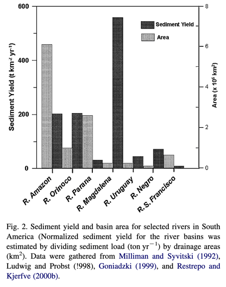
The rivers here—the Cauca and the San Jorge, which flow into the Magdalena, and more—all have very high natural sediment loads. Their watersheds are steep, erosional, and pounded by rain; at its mouth, the Magdalena has the highest annual sediment yield (tons of sediment per square kilometer of watershed) of any river in South America. But the sediment carried by the rivers have increased due to land conversion to agriculture and due to mining—while the barely-regulated gold mining of the region sends downstream heaps of methylmercury contamination that has negative health effects for those who live in and around the waters and eat the fish there, too. I learned a lot about kidney problems suffered on a massive scale across La Mojana.
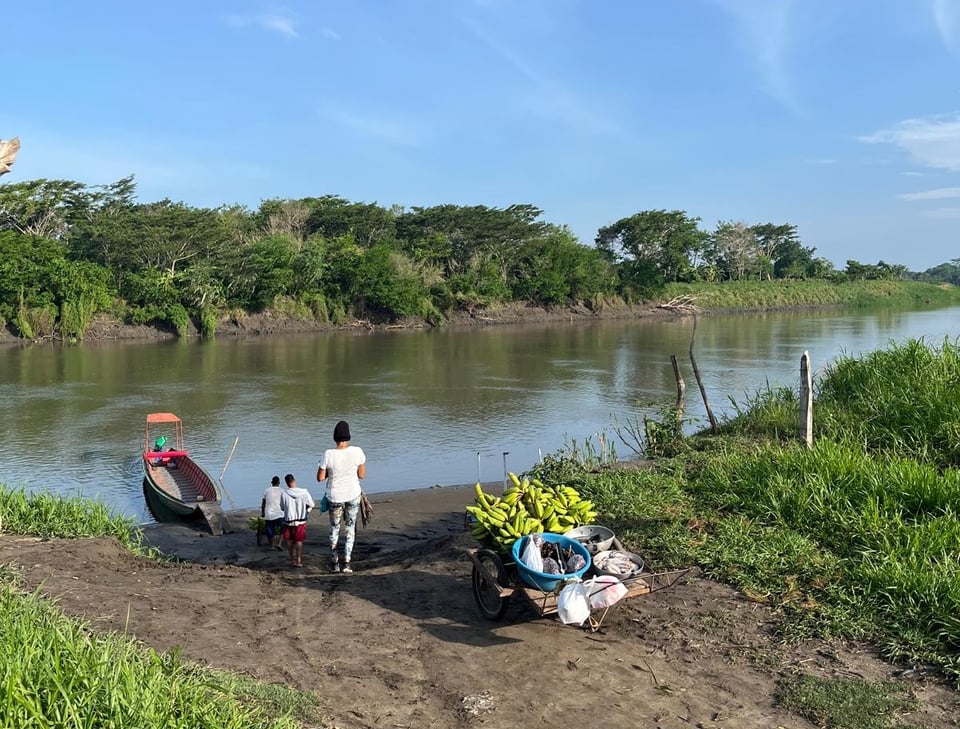
Discussion of the sediment was constant. This was a nice surprise for me—not everybody always wants to talk about sediment back at home in gringolandia!!! But in nearly every conversation with the denizens of the Momposina, when we asked about what problems they are facing, "los sedimentos" would come up. The sediments are associated with the mercury pollution and kidney problems, as well as with sickly fish. They are also associated with making lakes and channels shallower, reducing fishing territories, limiting boat transit, and generally and choking out channels both big and small—like the small irrigation ditches that farmers dig themselves or collectively. Even the enormous mouth of the Magdalena struggles to dredge quickly enough to keep up with the sediment load to allow large cargo ships to enter the port at Barranquilla.
Collecting the sediment cores was a brief window into the lives of fishers of the region, as Jorge recruited some help to navigate the ciénagas. As you probably already know, we are in uncharted territory for El Niño, a global temperature distribution phenomenon that leads to drought conditions in most of Colombia. So our visit coincided with very low water levels relative to what is normal in August. Some other locals were talking advantage of this to harvest sand from the river bottom by hand: at least that can be sold for use in local construction.
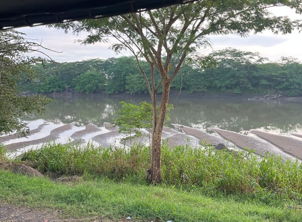
If we put aside the mercury pollution, the problem of the high sediment loads can be tricky to value. This is a highly-mobile system, where the constant flow of sand and mud naturally rearrange the floodplain landscape, creating habitat diversity and burying lots of carbon. The sediment load in the main stem of the Magdalena could likely be reduced with careful land management and wetland restoration efforts (though the scale would need to be massive). But would we really want to un-make all of the levees that separate the river from the ciénagas? Or must we just deal with the flooding and consequences of how the river behaves? As hurricanes batter the Gulf Coast and El Niño's waves will come to erode beaches across California this winter, we return to one of my favorite questions: how do we strive for [societal] stability in highly dynamic landscapes? How long can we stay in one place, while the ground shifts below us?
We still have so much to learn from the past. No system on planet earth is unmodified by people (OK, maybe pre-climate change Antartica was in the clear), and the Zenú people figured out how to live in La Mojana for a couple millennia prior to Spanish contact. There is evidence that they carefully dug shallow irrigation channels and made ridges to "sponge" up water and redirect flow in wet years and irrigate in dry years. Some of these earthworks are still visible from aerial imagery or LiDAR models. I'm not sure we know how they dealt with their dynamic landscape socially, or politically, over the centuries, but some Zenú descendants are still there in the region, mostly still fishing and holding on to old some practices.
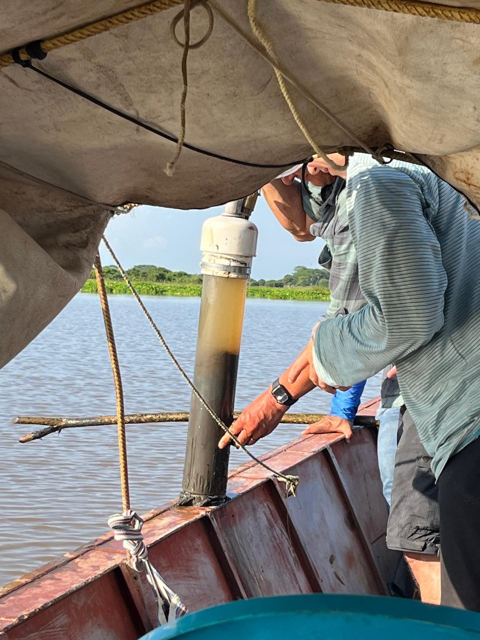
Our expeditions to take sediment cores were exercises in patience in navigating the subtle, shallow, maze-like array of caños, canales, and ciénagas. Our guides used the word "seco" ("dry") simply to mean shallow, and our boat frequently got stuck in mud just a foot or two below the water's surface. We were constantly prying ourselves out of the mud with poles, or cutting our way out of a who-knows-how-ancient fishing net from some previous fishing season, or performing on-the-fly engine repair, but it was still faster than wading through the mud. And the consistent stops were all part of a normal day for the guys who led us for a few days their stomping grounds.
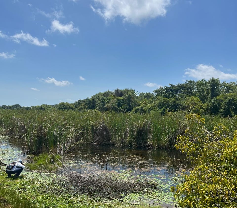
Environmental scientists love to seek out "pristine" systems, imaginary landscapes that tell a pure story of environmental/ecological processes at work. But I'll say again that truly "unmodified" places barely exist, and our academic team had to acknowledge this as we stopped-and-started our way across the ciénagas. When analyzing sediment cores, we operate under an assumption that sediment deposits in layers, so the deeper layers are older and the upper layers are more recent. This remains roughly true, but we realized that we were going to have to acknowledge quite a bit of vertical mixing in this system: from the constant churn of new vegetation, new flow patterns, and the footprints that churned up turbid water every time the engine needed wrenching. We also often assume that our cores are spatially representative of a region, but some of the joy and complexity of the field work came from acknowledging that the floor (suelo) of the waterways is really quite heterogeneous, a patchwork of microtopography carved by by wind-blown tapones (floating vegetation islands) or cowpaths or human modifications—some aged in months and some in centuries. The cores have now made the long journey back to a cool, dark, storage lab in London, and we have to acknowledge they only tell the story of their particular location: any generalizations need to be very careful.
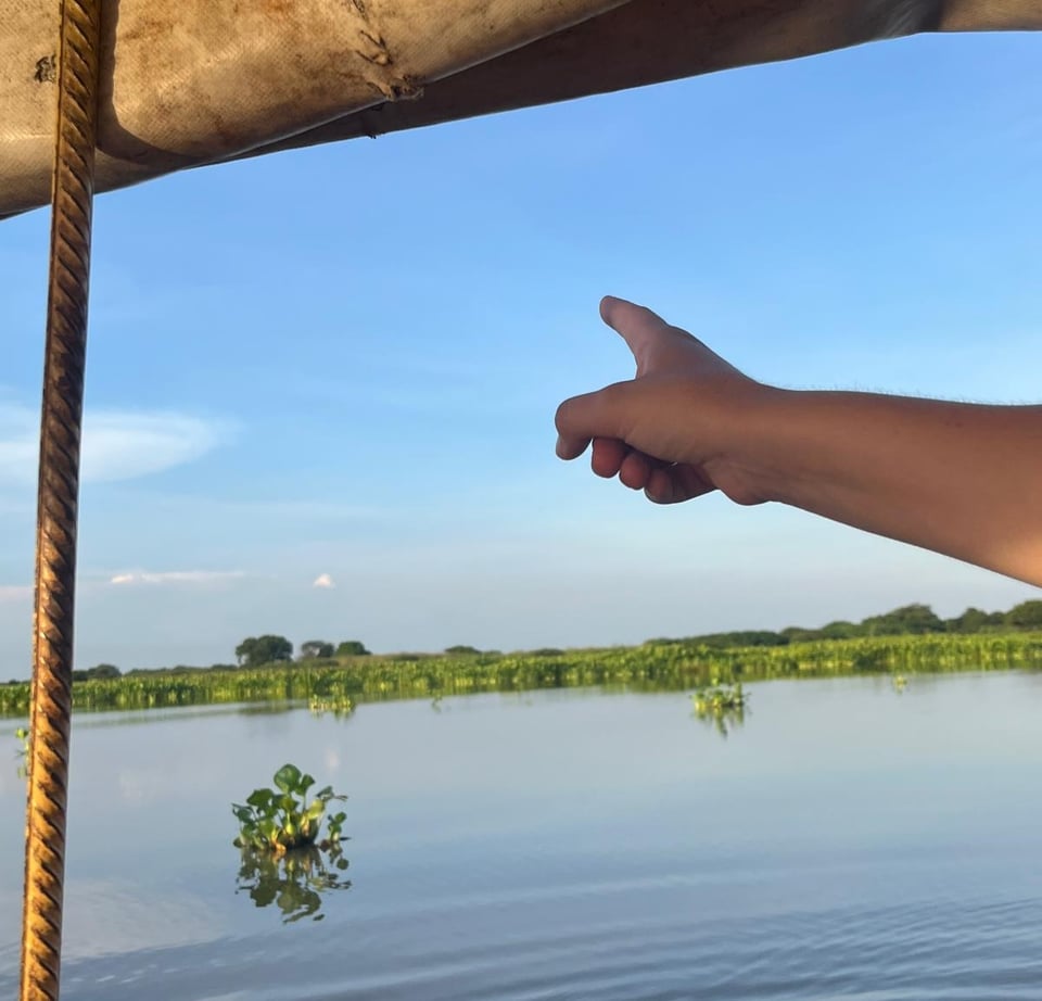
I am, honestly, still wrapping my head around the trip, but it was a treat to spend some time in a region with a genuinely amphibious nature and culture ("la cultura anfibia"). The output from my research, and the data in the sediment cores, will get squeezed out in the months to come. I'm very grateful to my advisor, Fernando, to Jorge, and enormously to the staff at Instituto Humboldt, for rendering this place accessible and just a little more legible to an outsider like me.
Mojado,
Lukas
P.S. It's really great to be writing again after a few months off and in-transition. I'll have some more newsletter posts coming soon and subscriptions will be rebooted.
P.P.S., if you want a more California-focused report on the "turbo El Niño" that is arriving, I recommend this read at WeatherWest.
You just read issue #109 of Gnamma. You can also browse the full archives of this newsletter.