I wrote in autumn about my PhD dissertation work in Gnamma #95 - How A Marsh Falls Apart. My research was mostly a close examination of a single marsh in South San Francisco Bay—Whale's Tail Marsh South—and the physical forces affecting its shape (geomorphology) and evolution. One part of my dissertation work has continued to puzzled me, though, a lingering question about the fate and history of the place. Here I will share why, and my best running hypotheses as to what is going on.
Before I jump into it though, I have a plea. Now that my PhD work is all published, I am sharing it at the AGU Ocean Sciences Meeting in Glasgow, Scotland later this month! But, due to the weirdness of academic funding timelines, and because I'm showing "old" work, I couldn't get much any financial support to attend this conference. It's crucial that I get my ideas out there and network with people at conferences like this, so I'm self-funding myself to go, but to a cost of about $1000. If you are a fan of my work or want to help support this last dribbly bit of my PhD, please consider giving $10 to offset these costs!!! I have set up a GoFundMe here (link fixed!). For those of you who already support this newsletter financially, I am putting your support from December, January, and February towards this cause, no need for any more! Thanks a billion. Now back to the science.
 Google Earth screengrab of the marsh in question.
Whale's Tail Marsh South, hereafter "WTMS," is a small marsh with levees on its north and east sides. It doesn't really have a south side, due to its wedge-like shape and the outlet of a tidal creek. The western edge faces the water of San Francisco Bay, and this geography is critical because the marsh is hemmed-in. The levees prevent the marsh vegetation from growing in any direction except out towards the water. Unfortunately, the nearby waters of San Francisco Bay has some of the biggest waves in the region, because the dominant wind direction goes directly across the widest part of the Bay here: the when winds blow across long distances of open water—called "fetch"—bigger waves can be made. In my research, I linked these waves to rapid erosion of the edge of the marsh. So this marsh's one unconstrained boundary is actually retreating, moving landward at a median pace of 1.5 meters per year from its western edge (see my paper!). Be aware, the marsh itself is only about 300-500 meters wide. With these facts together, this marsh is on a short timeline to self-destruction, as I also wrote about in Gnamma #79.
 From
From 
 Image from
  Tunnelbana station right at lake level in Stockholm. Photo from
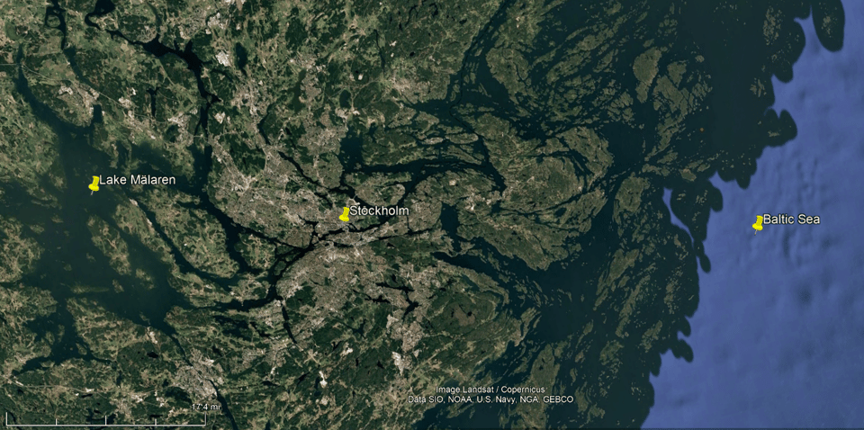
 Figure
  photo from
 Screenshot from the Hughes fire, north of LA close to I-5.
 from
from