Weightshifting S2E21: Fear is the mind-killer.
Day 21: Sept 30, 2023
Comanche National Grassland, CO →
Del Norte, CO
Miles: 229
—
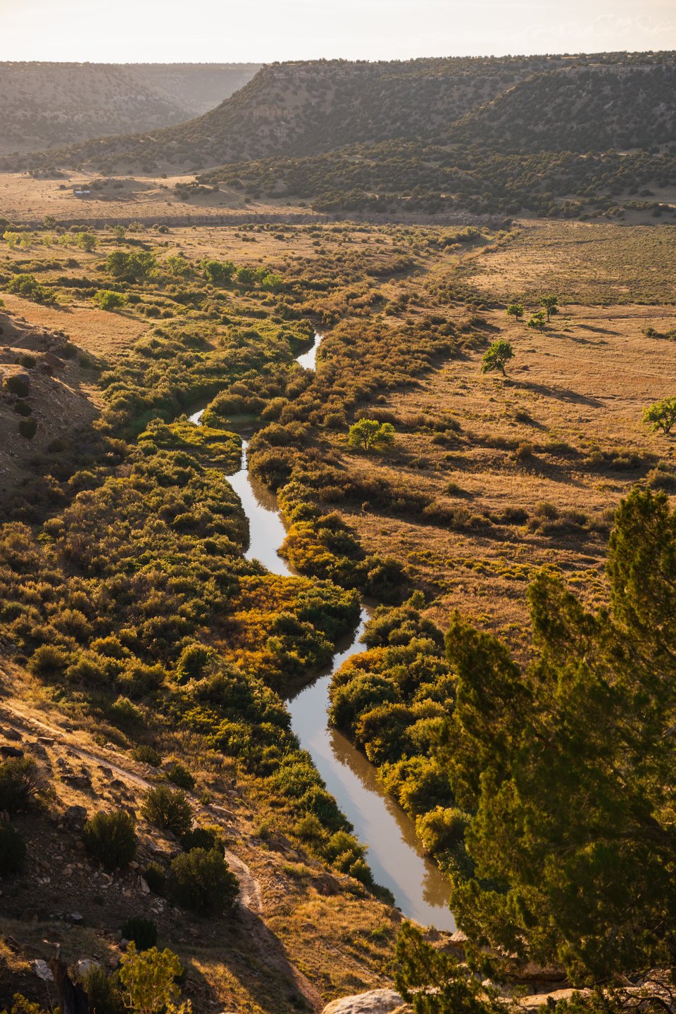
I open the tent flap and pop my head out. The view is indeed as impressive as the previous night’s moonlit scene hinted at. The mesa we’re camped on overlooks an expansive valley, and a glistening river snakes along the canyon floor.
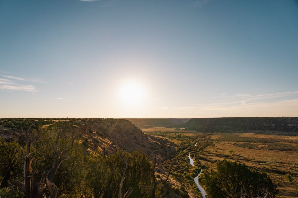
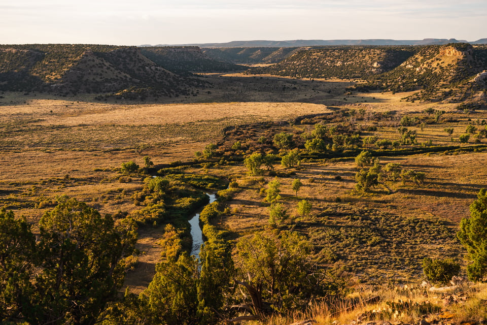
This was worth the long push yesterday.
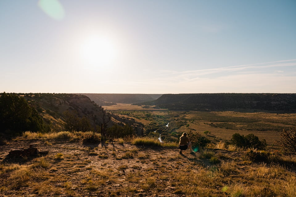
Jen and I vow not to rush off; rather, we take a breather and soak in the warm sun. I boil water, returning to the usual morning routine of preparing coffee and tea. Beverages in hand, we sit on natural rock steps at the rim and observe our surroundings, with binoculars and cameras close by.
The attraction on today’s agenda is Great Sand Dunes National Park. Ever since our multiple visits to Eureka Dunes in Death Valley and Kelso Dunes in Mojave National Preserve, these natural wonders continue to captivate. It is fitting to add the Great Sand Dunes to our list since it’s nearby.
As we approach the entrance to the park, we drive into the rain that’s traversing the state. Large, fat drops splatter against the rig, and a layer of pea-size hail accumulates on the road.
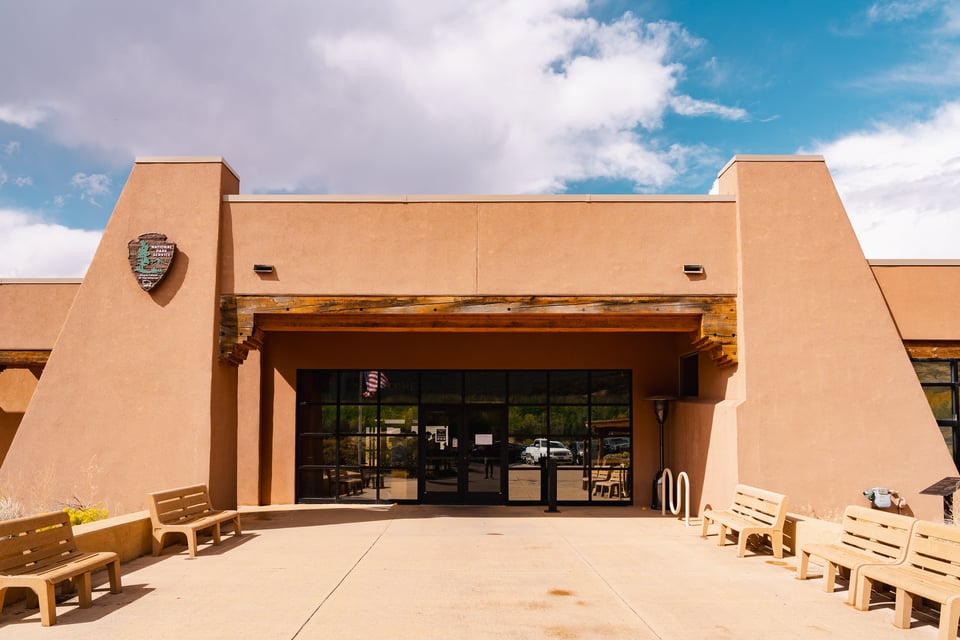
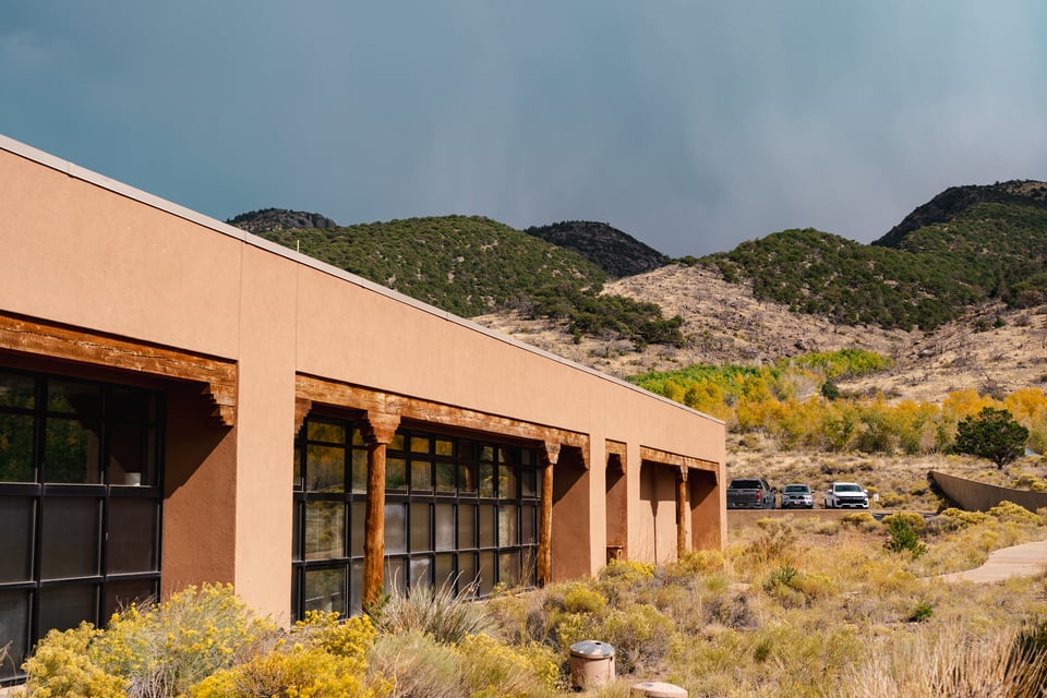
By time we renew our annual pass and enter the visitor center parking lot, the showers stopped. What remains is that post-storm deep contrast backdrop — the sky is full of drama.
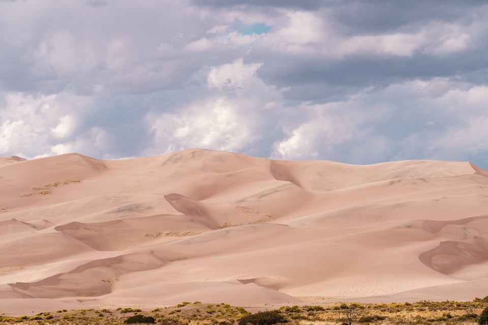
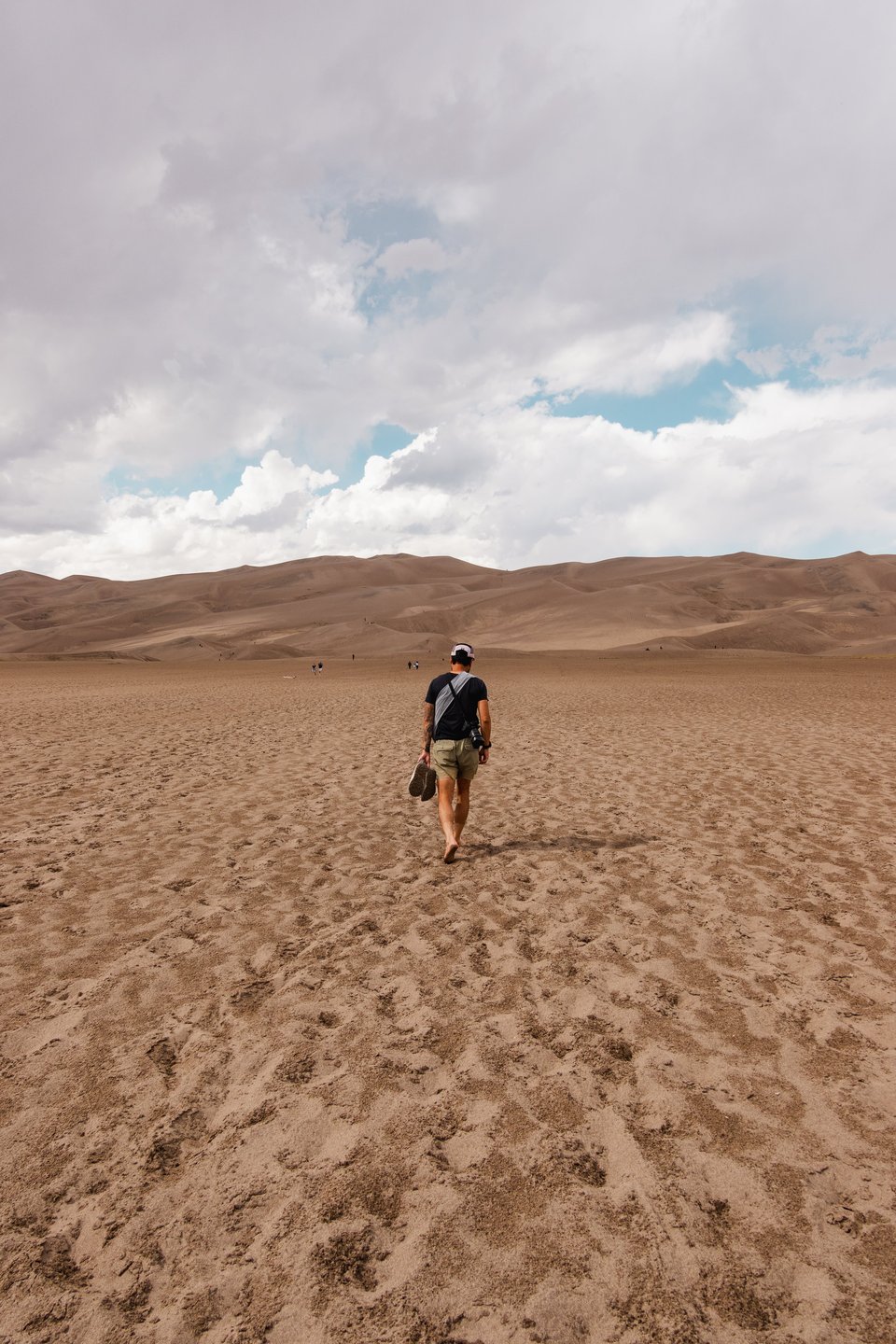
We take off our shoes and start the long, energy-sapping walk typical of sand travel. Other visitors carry sand boards and sleds to bomb the dunes, a popular activity.
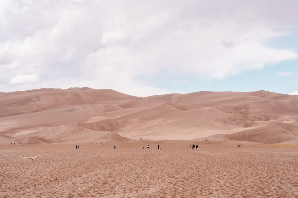
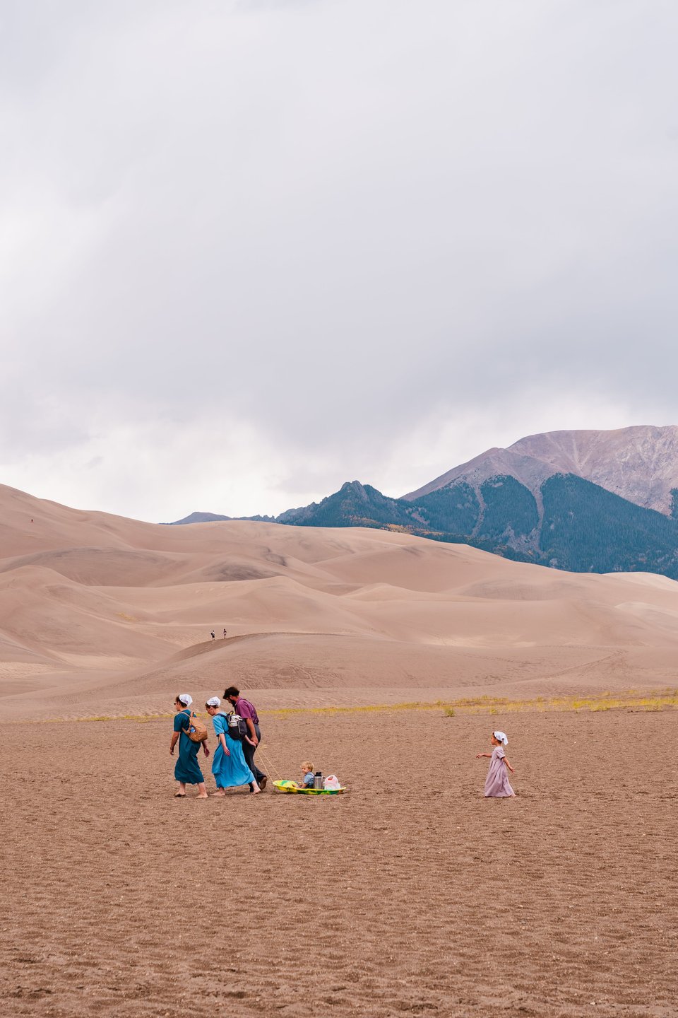
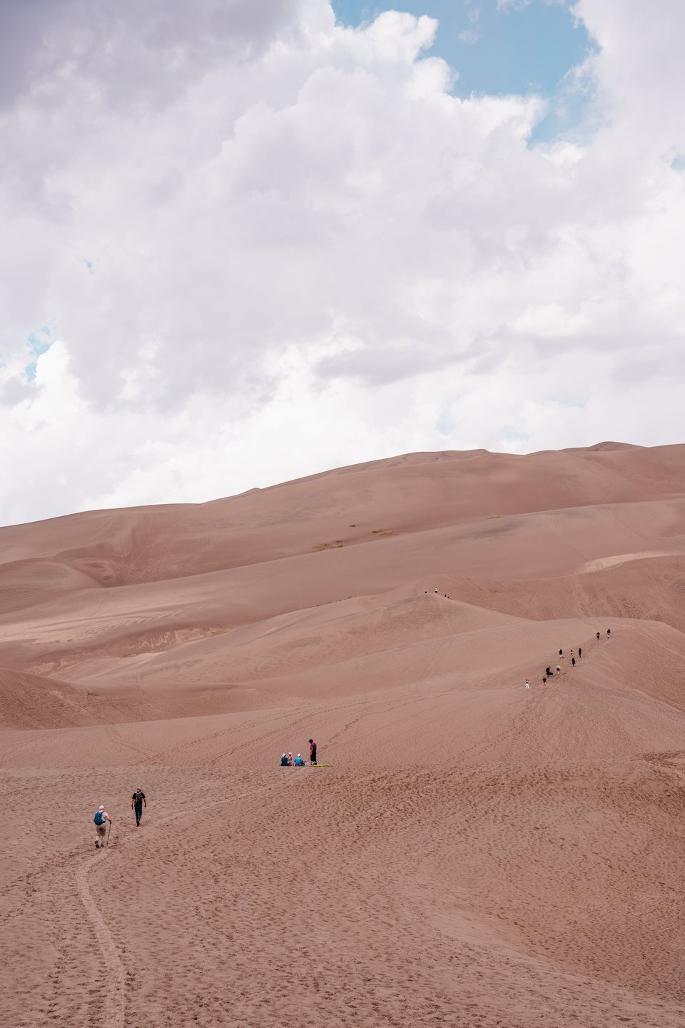
Time and weather being constraints, we refrain from fully immersing in any dune activities since we need to locate camp. This is the time of year when daylight burns faster.
Gaia GPS is my preferred app for viewing detailed maps to pinpoint public lands designated for recreating. I’ve become very intimate with several map layers: National Forest (USFS), Bureau of Land Managament (BLM), and Motor Vehicle Use Maps (MVUM). This, coupled with the official websites of the respective region and management agencies, will inform you of general dispersed and primitive camping areas.
I key in on one: Penitente Recreation Area, which is a little over an hour away.
Hero dirt greets us, and we do a vibe check. Gravel cyclists and mountain bikers are out enjoying the terrain. We do a full circle and peruse all the campsites. We first investigate a fascinating rock formation that expands into Witch Canyon, but ultimately we settle on a higher spot with some low trees, providing a bit of privacy. As we set up the tent, hikers exit one of the trailheads a few hundred feet away.
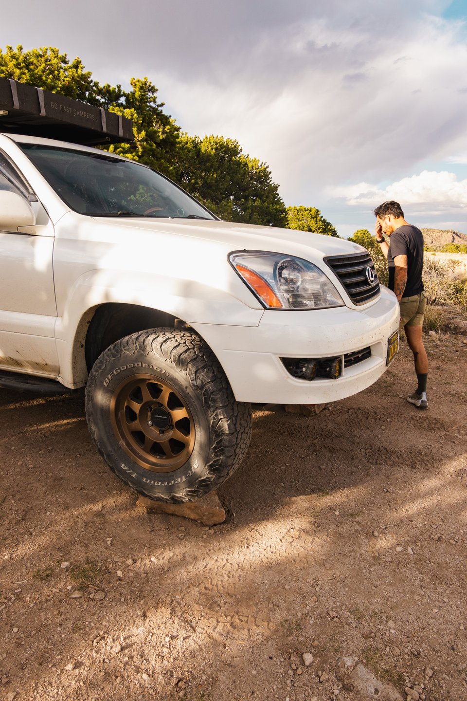
The sky’s mood changes before our eyes. We continue to refresh our weather apps, which insist the night should be clear. However, the clouds tell a different story.
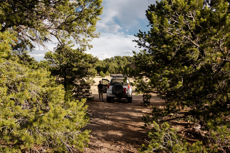
I deploy a new DIY awning tarp, made from a simple tent footprint. I customized tie-in tabs to match our roof rack width, making the perfect size shelter to cover the rear area while I cook dinner.
The temperature drops and a drizzle returns, so we cozy up inside the rig, enjoying our chosen “bowl food” of quinoa and ground beef. We bust out the iPad and hit play on Lost in Translation, an old favorite.
The movie only half finished, our eyes become heavy. The intermittent rain pauses, marking a good time to head to bed. We’re not sure what the overnight will bring, but we suspect we haven’t experienced the extent of the evening’s weather.
Fuck around and find out, eh?