S1E4: 11,218 feet.

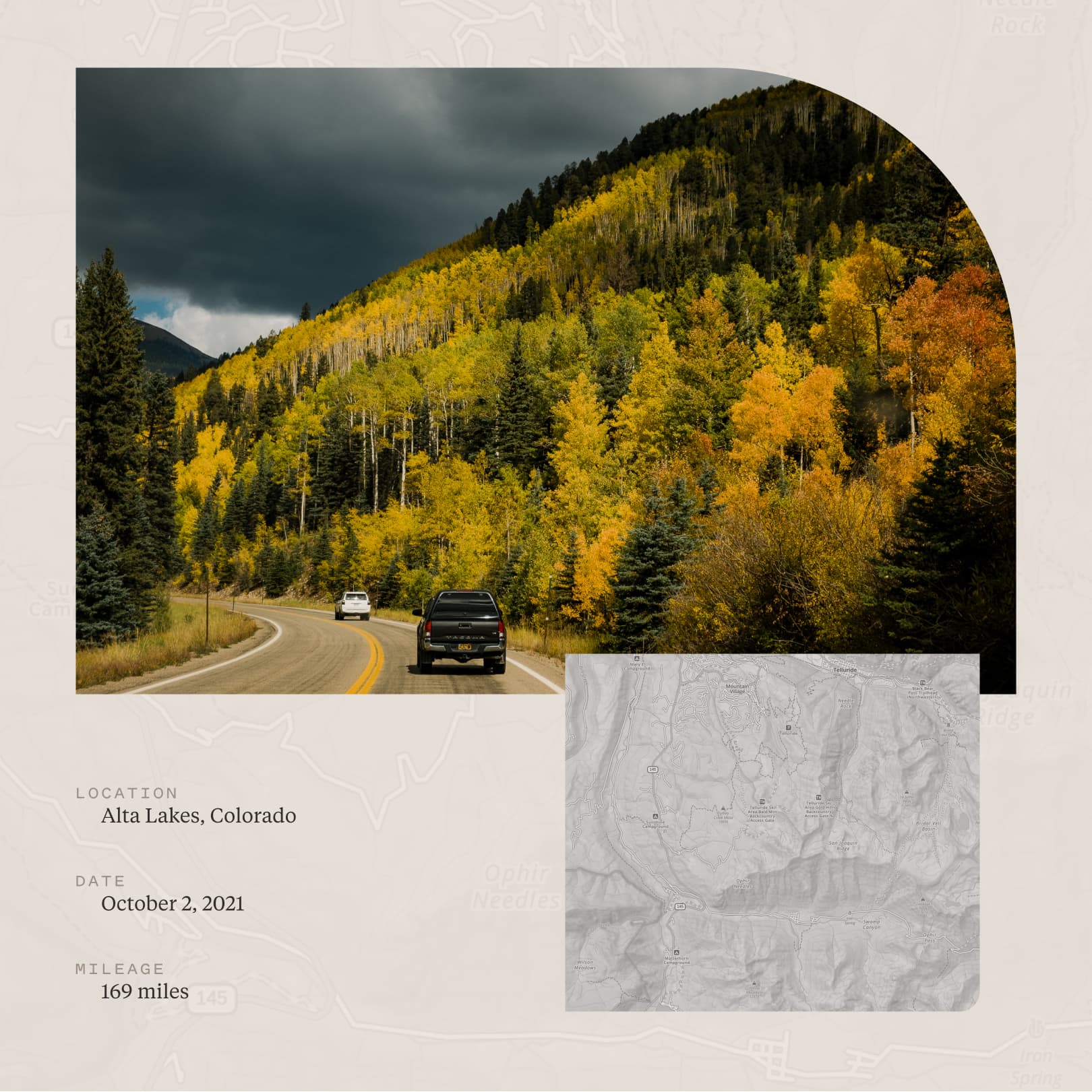
We roll into Rico, Colorado, parking in front of the local post office. It’s rustic. Cute. Mountain-town vibes are abundant. Like a peacock, the foliage on the drive from Cortez is in full plumage. During the drive, neither Jen nor I, and even Grant, can’t not marvel at the beauty that accompanied us during the drive here.

Rico is a pitstop, just over an hour from Cortez. It’s a popular stop outside Telluride, the idyllic town set against the San Juan Mountains. It’s in this range that we find camp for the night.


Fireweed Cafe is a lovely little bakery, mercantile, and drinks shop, where smoothies named after Hawaiian locations and delicious homemade pastries with thoughtful ingredient lists (read: healthy) find their way into our bellies. We stretch the legs with a quick jaunt along the main drag. Rico is home to 265 people as per the 2010 census, and it feels that way. It is absolutely charming, like all mountain towns are.

Our rough destination is a dispersed spot in the San Juan National Forest above Trout Lake. We get back in our respective rigs, and we double-back a short distance to the only gas station in town. Predictably, premium gas isn’t available, which is what Viv (our rig) requires. A Google Maps search reveals that we have to head to a Conoco on the perimeter of Telluride, which is just under a half hour away.
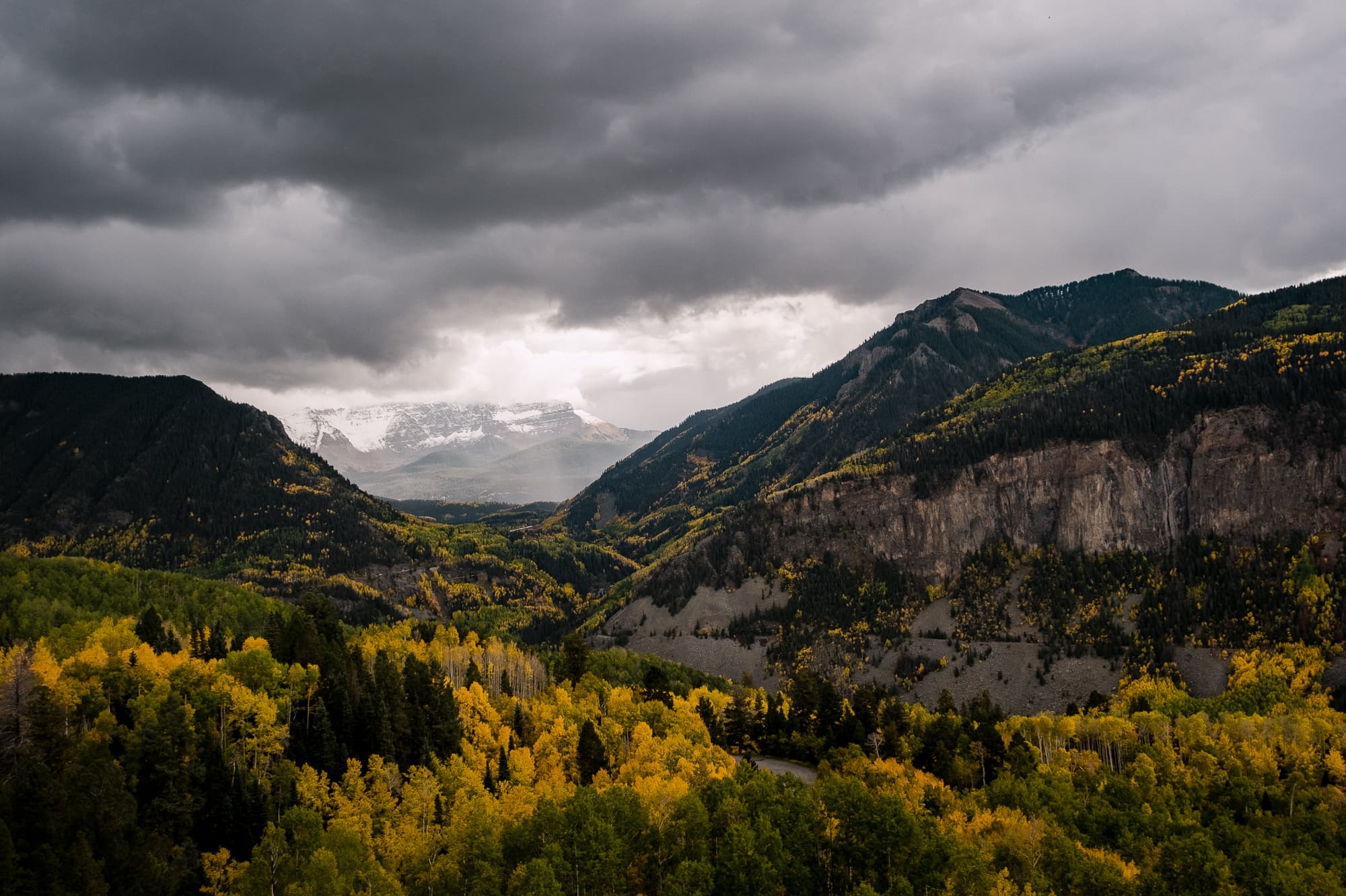
Jen and I made this drive before back in July, and it was beautiful then. But fall takes it to another level. In the summer, it boasts lots of green. In the fall, it’s positively electrifying!
As we crest one of the last rises on the way to the Conoco, I see a sign that says “Alta Lakes” that departs pavement and leads onto a dirt road into the San Juans. I make a mental note.
Gassed up and ready to roll, Grant and I confer.
“Did you see that Alta Lakes sign?”
“Yep.”
“Let’s look at Gaia.”
Gaia GPS is an essential tool for hikers/overlanders/campers and anyone with an interest in mapping and the outdoors. It’s an app (available on all platforms) that tracks your GPS data, records waypoints you designate, but most importantly, provides a map with layers (many, many layers) that you toggle on and off, with opacity adjustments to reveal all kinds of useful information. I’ll save a deeper dive into Gaia GPS for another time.
With Gaia opened on my phone, we consult the base topographical map, with the USFS (Forest Service), the Public Lands, and the MVUM (motor vehicle use map) layers all toggled on. This gives us essential information: how far can we go with our rigs, how high the elevation will be, how big and how many lakes there are, and camp possibilities.
It looks promising.


We pass a few other SUVs, trucks, and adventure-ready mobiles as we start the rocky dirt climb upwards. Like any good trail, it’s mostly one-way with the occasional section wide enough for someone to pass if needed. Uphill vehicles have the right of way, and we see good etiquette on the road as we wind our way. Friendly waves and stunning sights greet us around every curve and switchback.

We encounter some excellent camp spots, unfortunately claimed and occupied. As we continue, a clearing opens up to reveal a few abandoned and dilapidated structures. We’re rolling through Alta, one of Colorado’s prevalent mining ghost towns, which is on the National Register of Historic Places. Active between 1877–1948, the town is famous for being the first to use Nikola Tesla’s AC transmission system. Most towns used coal as you’d suspect, but Alta used electricity. Wild, indeed.
We keep moving toward the lakes, and along the way, we mentally note a few possible places to set up our rigs.

We reach the lakes, and a fork in the road greets us. A sign is marked with a camping symbol to the left and a no-camping symbol to the right. We take the left and discover first-come, first-served designated dispersed sites all along the road and edge of the lake. A smart move on the part of the Forest Service and common in places with potentially heavy traffic. By creating official sites, the impact is lessened on the area.
We do a little half-loop on the camping-allowed side, investigating potential accommodations for the night. A would-be spot is occupied by a large pool of water, rendering it inhospitable. The weather has started to shift, and a misty rain has begun.

The lakeside sites look glorious but cramped, and it feels foreign to settle close to strangers after a year-and-a-half of distancing. Besides, a blanket of trees only moments away offers peace and privacy. We turn around and head to a spot we saw right before our diversion to the lakes.
We begin to position the rigs and level out. This is typically done with rocks found in the area, placed under the tire(s) — some rigs have built-in levelers, others mod theirs by adding level bubbles. I prefer the handy level feature in the Measure app on the iPhone. I do this side-to-side and fore-and-aft.
Raindrops start to fall. The weather is here at 11,218 feet.
I start to make tea for everyone. Grant helps me assemble a makeshift shelter from a tent ground cloth and some poles I borrowed from our friend Tyler. As we stand around and sip our warm beverages, I survey our surroundings. Two other spots are in this area, marked by fire rings — I don’t know why I didn’t notice earlier. The privacy is a bit lacking, should someone roll up later in the evening. A small double-track road heads up just next to us, prompting my curiosity.
Grant and I walk up together to scope it out. Always in pursuit of that perfect spot.
We find a smaller camp site tucked away, with more tree coverage, a fire ring, and more importantly, privacy. No one else can invade this space. We make a decision.
When we get back down, Jen states, “Let me guess, we’re moving.”
zing

We quickly do a messy pack-up and drive our vehicles up. Then the song and dance of arranging our belongings commences again. The light is waning, our bellies are becoming vocal, and our sleeping quarters need to be readied.

The rain starts to fall heavier this time as we tuck under the trees. We ignite a fire, which seems luxurious given the accustomed restrictions in California. I start dinner, and we settle in for the evening.
