What I’m Working On Now — October 2026
Hello from Langley, Washington — and happy Halloween! It's only been a few months this time (progress!), so this one's a little lighter. Fall colors, a couple of trains, a floatplane, and a few more state parks.
Travels
The big trip this stretch was New York earlier this month. Lisa, my mom, and I flew into the city and headed upstate to visit family, where my cousin had warned us about the "garish fall colors." I say bring on the garish!
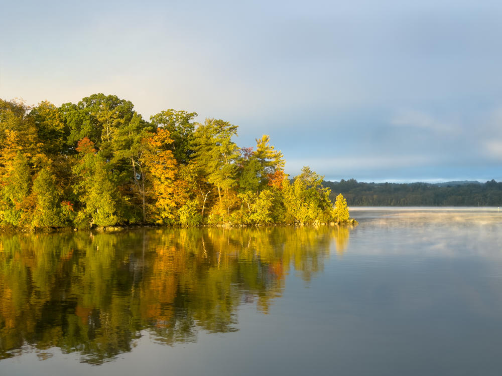 Tivoli Bays Wildlife Management Area, south of Tivoli, New York
From there I took Amtrak's Empire Service down the Hudson River to spend a few days with my team in New York City, treated to morning fog and sunrise the whole way. And on the way back north, I rode the Adirondack train up to Plattsburgh — 174 km / 108 miles along the water, which took 3 hours and 15 minutes. If you're in a hurry, this is not the way to go. If you want scenery you can't see from the road, love love love. (I'll confess to editing photos from my mobile photo lab while taking more out the window.)
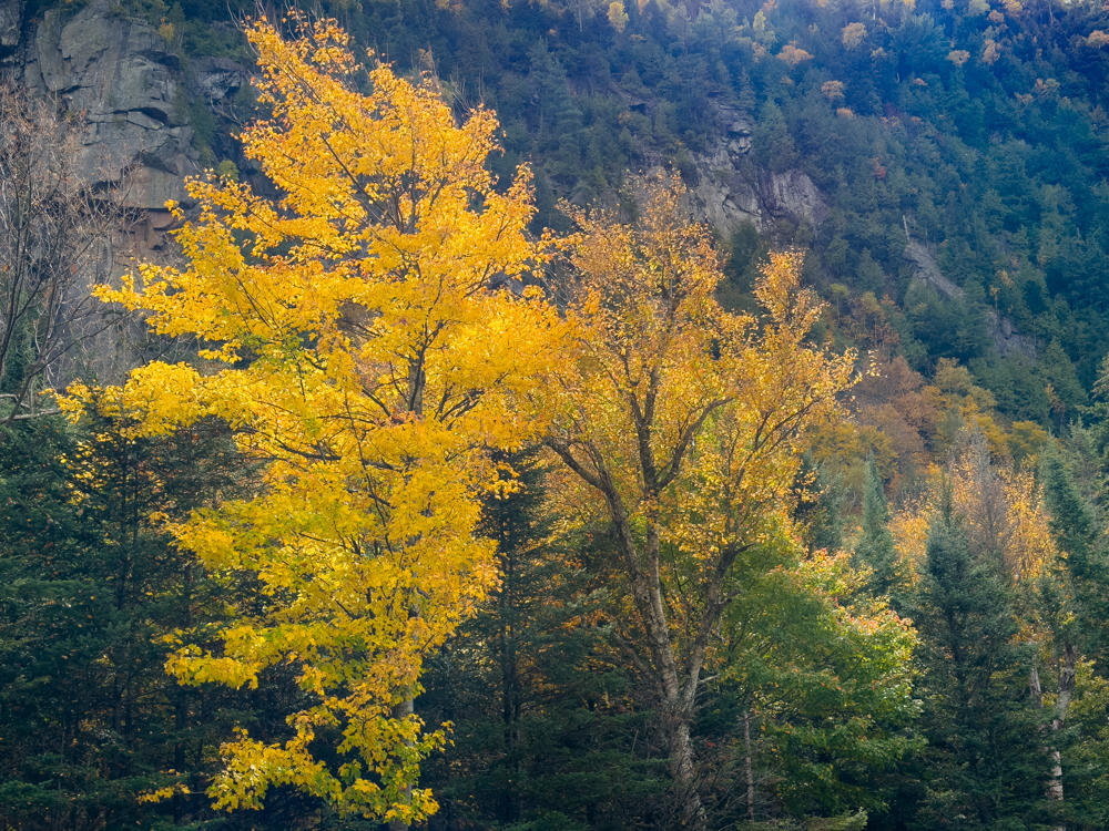 Southwest of Wilmington, New York
Closer to home, a few smaller adventures:
- A Sunshine Coast Weekend — Lisa, my mom, and I went back to the Sunshine Coast of British Columbia, Canada, to revisit a stretch I'd loved last fall. It was not at all sunny when we arrived … but the blustery weather made for some great cloudscapes.
- Victoria Harbour Flightseeing — on a weekend away in Victoria, British Columbia, Canada, I snuck in a quick floatplane flight around the harbour (still getting used to that Canadian spelling).
- Guillemot Cove Nature Reserve — a quiet hike with Lisa down to a Hood Canal beach, not far from home.
 Ferry from Horseshoe Bay to Langdale, near Bowen Island, British Columbia, Canada
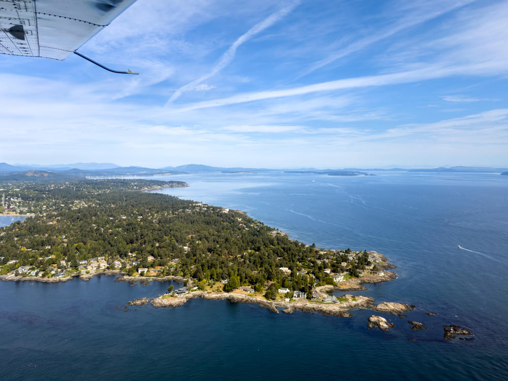 Above Salish Sea, east of Saanich, British Columbia, Canada
146 Parks
Three more Washington State Parks, bringing me to 138 of 146:
-
136: Palouse to Cascades, a few days sampling the state's premier rails-to-trails route between Cedar Falls and the Columbia River.
-
137: Lilliwaup Tidelands, a … shall we say … subtly marked stretch of rocky shoreline on Hood Canal.
-
138: Haley, an undeveloped park I'd never heard of until an acquaintance showed me a map. There's a trail through it. If you can find it.
 Keechelus Lake, Palouse to Cascades State Park Trail, south of Snoqualmie Pass, Washington
Digging Back Through the Archives
The photo library re-editing project rolls on:
- Sri Lanka and India (2016) — I've now posted through Day 10: Yala National Park, the stilt fishermen and Galle Fort, a home stay in Olavipe, the Alappuzha backwaters, and a few restful days in Kerala.
 Soma Kerala Palace, Kochi, Kerala, India
Behind the Scenes
If you've browsed my travel blog lately, you may have noticed the maps look a little different. I've been rolling out a new track map across my sites. Instead of a static Google map at the bottom of the page, there's now a small map in the corner that follows you down the page — as you scroll through a day's photos, it shows where each one was taken along the route. Each leg of the day is marked by how I got there (drive, walk, ferry, flight, …), hikes show their climb and descent, and on 146 Parks the map now marks the other state parks nearby. It's built on open map data. Go take a look at New York or Palouse to Cascades to see it in action. So far I've moved over 100 pages to the new maps, and I'm working my way back through the rest.
I've also been on a long, quiet project to add proper alt text to my photos — the written descriptions that screen readers speak aloud for people who can't see the image. My photo workflow now suggests a first draft based on what it knows about each photo (where and when I took it), and I review and edit every one before it goes out. New posts get alt text from day one, and I'm working backward through years of older posts to catch up. It's unglamorous work, but I want everyone to be able to come along on these trips.
Sneak Peek: Waysmith
Those track maps don't draw themselves. Real-world GPS tracklogs are messy — tunnels, dropouts, a phone that thinks I teleported across a lake — and none of the tools I tried could keep up with a 100,000-point log from a long travel day. So … I built my own.

Waysmith is a native Mac app for editing GPX tracklogs. It lets me trim and clean up noisy tracks, patch over bad GPS segments with a routed path (or snap a train ride to the actual railway — very handy for New York), merge files from multiple devices, and split a day into legs: drive, walk, fly, and so on. It's been doing the heavy lifting behind every map I've retrofitted this fall. For now it's a personal tool, but if there's enough interest, I might polish it up and release it. If that's something you'd use, let me know!
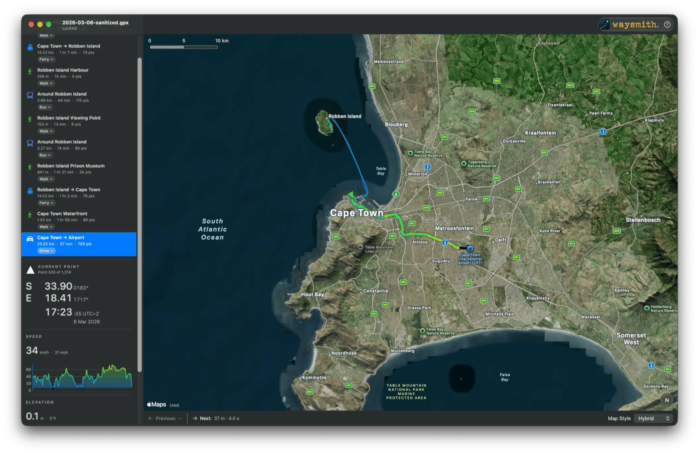 Waysmith with my last day in South Africa: the ferry out to Robben Island and back, then the drive to the airport.
Work
It's been a heads-down stretch at work. The New York trip was mostly for an internal meeting with my team — always good to see everyone in person — with the bonus of tacking on some time with family upstate.
Over on How I Code, I added a new section on punctuation. Yes, I have opinions about dashes. Nobody notices a well-placed dash, but a page full of mismatched ones reads as careless — the same way inconsistent indentation does in code.
What I'm Listening To
I just discovered that Spotify keeps an "On Repeat" playlist of whatever you've been playing most lately. (How did I not know about this?) Top of mine right now is We Have To by Zoe Konez — a quiet, reflective song that fits the season I'm in. These lines in particular:
And we continue, we push on through, because we have to. Put out small fires. Pick our fights wisely. We sit right up, not always standing.


