looping: honing
On trying to optimise routes when the available paths won't coöperate.
Once again I am trying to navigate my way through Wormit and Newport off road and once again I am doing a lot of doubling back. There is a nice obvious road parallel to the Tay that gets you through quickly and with a minimum of fuss but because I am on the gravel bike I feel I should make an effort to ride some trails. The trails are there, I’ve seen them on the map, but they don’t seem to be quite where they are supposed to be.

Pretty much the entire rest of the route is straightforward, although there has been a bit of faffing in Balmerino because I decided to see where a path that looked helpful went. The route has a few sections of road to link stuff up but it does a good job of mostly being off road. The Wormit to Tayport section is the only section that lacks an obvious non road route hence the trail troubles.
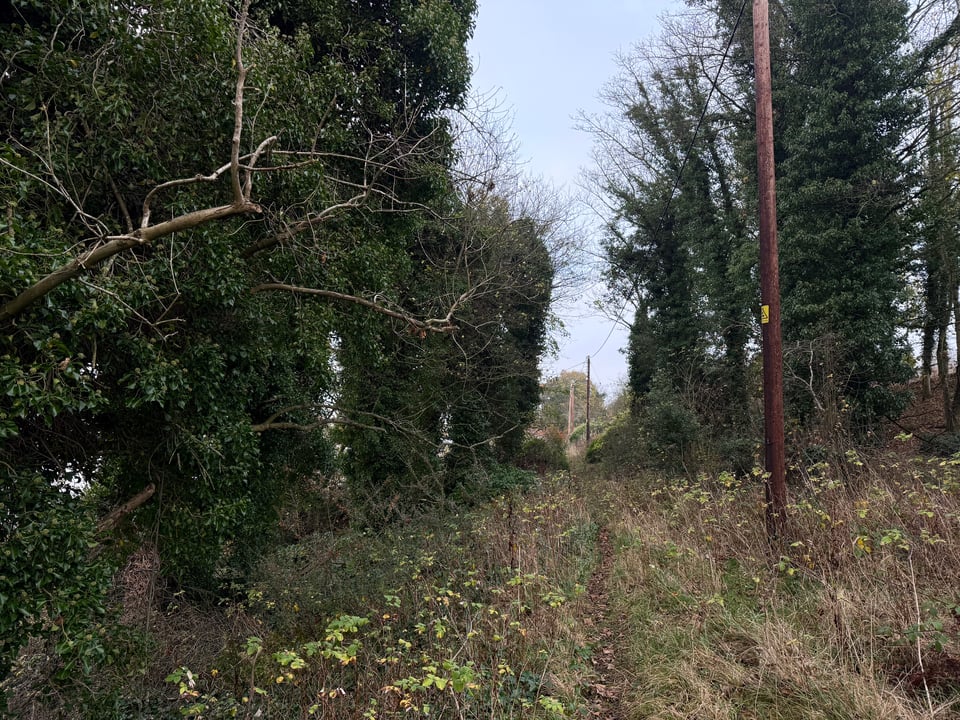
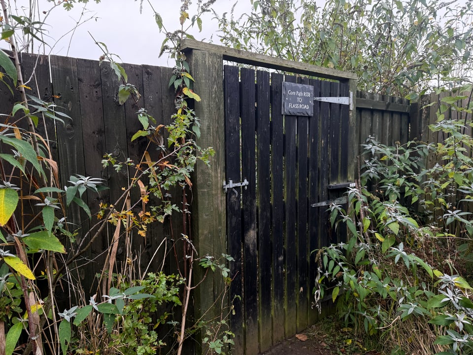
As well as the trails not being quite where the computer expects them to be they also do not go where I need them to go. They take one on an annoying detour up the hill and then you end up having to come back down the hill and in to the confusing backstreets of Newport and yet more doubling back. It all feels very unsatisfactory and somehow a chore. Looking at the heatmap on Strava there is a faint line that might allow for a better route but the end of that faint line isn’t a path on any map I’ve looked which is often a bad sign. It might mean it’s a new path so not made it on to a map but the fact it’s not made it to OpenStreetMap isn’t promising. It’s as likely that it’s an ex path, or just used by one person who is happy walking along a tiny overgrown path that is nigh on impossible to find unless you know it’s there.
I will probably give it a go next time.
This sort of slow honing down of a route is one of the joys of off road riding which you do not really get on the road. Sure, there are roads that are more enjoyable to ride and those that are to be avoided but you never really have the problem of the road just not being there, or turning out to be unridable. Nor does one stumble across a road that doesn’t exist on a map. You plan a route and you follow the route and it works. On the gravel bike there’s a lot more picking what looks like the best option on paper and then adapting it in the face of the actual territory. If it’s a nice short local route this is quite a pleasurable process. If you are three hours into a ride with the same again to go then it can be less so.
If I know the area well I am fairly willing to just take a punt on what looks like a path that goes in the right direction safe in the knowledge that I should be able to recover from any missteps. For rides that take me to less familiar areas I might take a chance on some small detours if it’s super clear where it’s going but I’m not going to take a wild punt because adding a fruitless 30 minute detour into a long ride is not my idea of a good time.
One thing, despite grumblings above, that is a real boon for this sort of thing is the Strava heatmap. Being able to look at an unfamiliar area and seeing some clear blue lines along a trail is very helpful for making decisions about how to decide where to go. The main issue is when the heatmap says one thing but the routing algorithm says another and the route planner will not let you use a trail. I’ve never really worked out what is up with that but there are some trails that Strava just says nope about even if you can see the trail on the map and it looks like half the local population uses it daily. Then you just have to do the best you can with the route and remember to go off piste when the time comes.

I am slowly getting a feel for the options round Wormit and I do think there is a good route through there but I expect it’s going to be another couple of goes before I really pin it down.