Thames Path: Thames Head to Oxford
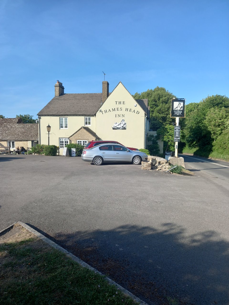
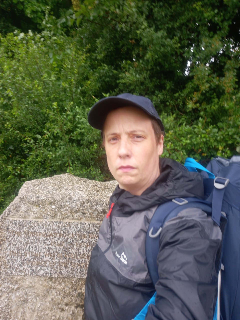
My brain seems to have interpreted my hope to walk the Thames Path this summer as a commitment I made to myself, and my horror of breaking commitments is strong enough to cut through my inertia. I knew I had to move fast if I wanted to reach Oxford during my kid's term time, so with financial support from my fiancée I booked a train ticket down to Kemble and an overnight stay in the Thames Head Inn, a touch of luxury before the rigors of the trail.
On a drizzly Tuesday morning, I made my way to the stone that marks the official start of the Thames. Without the stone, there would be nothing to see at this point, because the source is hidden deep underground and water only appears on the surface in the very wettest months.
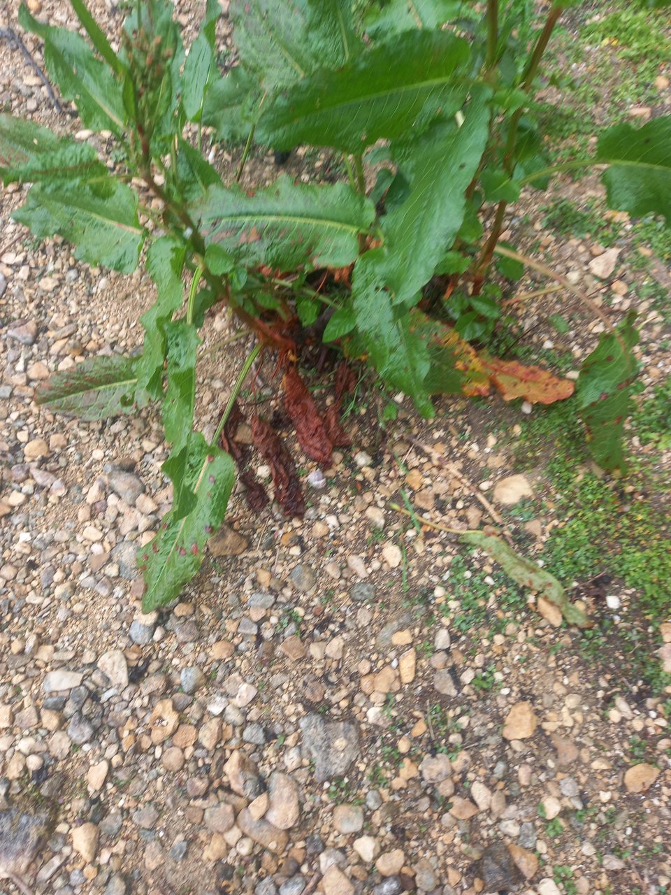
The route the river takes was easy enough to pick out, and I rather enjoyed the idea that I was walking along the bed of the Thames. Dock plants growing among the stones made me half doubt that a river could really flow there, but their roots did look as if they saw regular water flow.
I visited this part of the Thames back in April 2022 - the beginning of my interest in the river - and I remembered water flowing under the first of the bridges. But the difference between an average April and a drier than usual June meant that this time I saw no water for several miles.
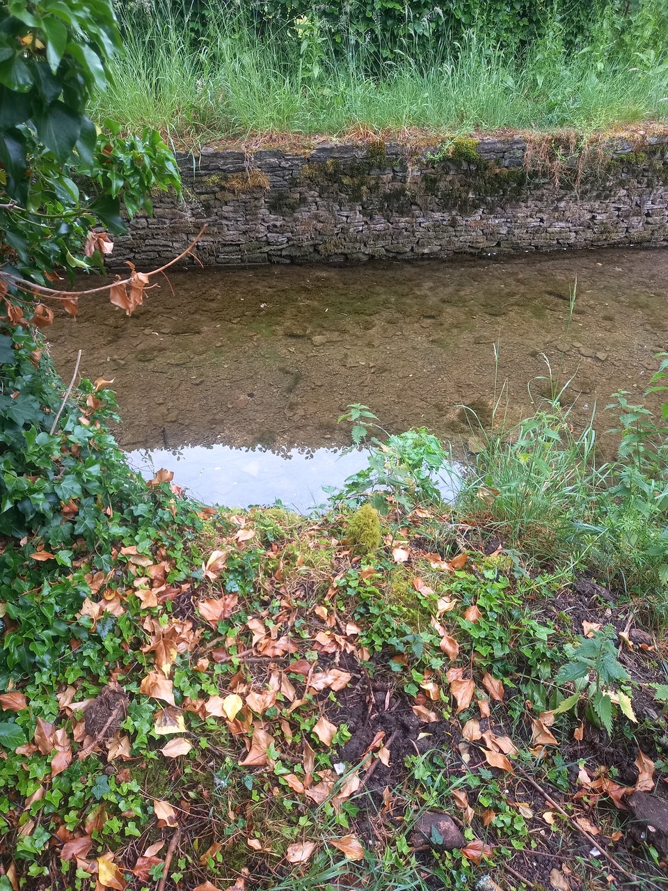
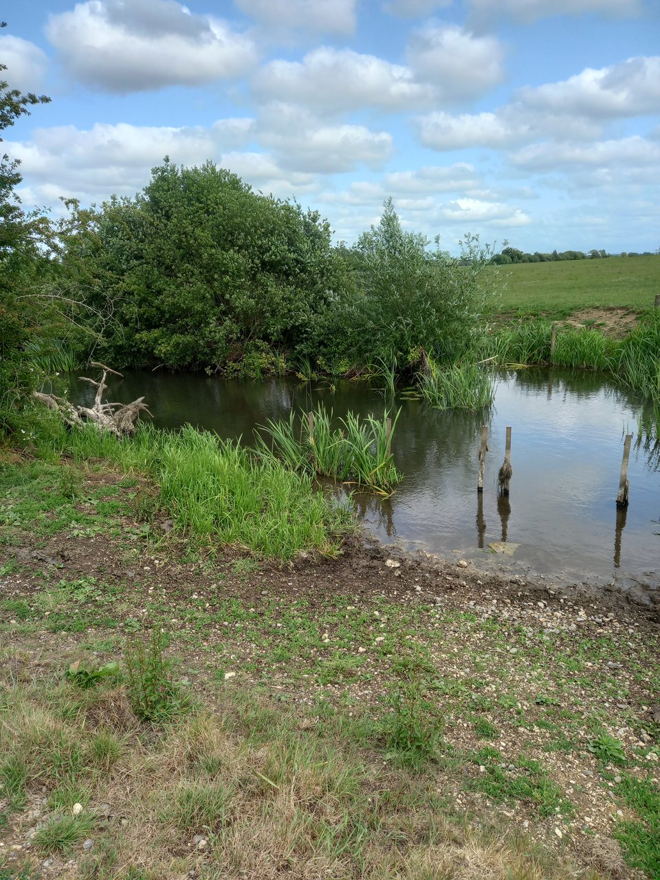
The signposted trail led me away from the riverbed for a little while at Ewen, and when I rejoined it, it had acquired some water. A little further along, the water was clearly flowing downstream, although it still looked much more like a rural stream than the mighty river it's destined to become.
At Ewen, I also spotted my first dragonfly, such a vivid blue I initially mistook it for a scrap of plastic caught in a breeze. I came to see many more along the way, and learned to appreciate them as proof I was close to the river when the path took me away from it.
When I stopped for my first lunch in Ashton Keynes, everything looked promising. I'd done eight miles, a solid morning's work, and the rain had given way to tentative sunshine. But the path diverged from the river again, and I started getting lost. The first time, I just cast about until I found the path once more, but the second time was much more serious and involved a mile or more walking merrily in the wrong direction before I realised my mistake. Even when I got back on track, the path meandered tediously through a water park with no apparent end in sight. When we finally rejoined the river, I greeted it like an old friend.
Near Cricklade, I lost the path again and decided to follow a bridleway in approximately the right direction. That got me safely to Cricklade, but it added another mile or so to the journey. The guidebook recommended stopping in Cricklade, but it was another six miles to the campsite I'd booked at, so I set off once again.
Those last six miles were my first introduction to how much grit the trail demands. I was acutely aware of the ache in my legs and the blister forming on the bottom of my foot, and however far I walked there seemed to be more to go. I drew level with the campsite, but it was on the other side of the river so that I had to continue to the next bridge and walk back. I eventually arrived and needed an hour to rest before I could contemplate setting up camp.
I made a slow start on the second day. I was awake by seven, but I delayed my departure until I'd had a chance to call campsites - pointless in the end because they weren't answering. I also used the time to complete a writing challenge sitting on the steps near the river, now definitely a river but still gentle and rural.

I set off just before ten and made good time through a section another walker later criticised for using country lanes out of sight of the river. I found the lanes rather pleasant, although it was admittedly a relief to rejoin the river. The Thames officially becomes accessible to boats at Lechlade, but a few miles upstream I already spotted the odd barge.
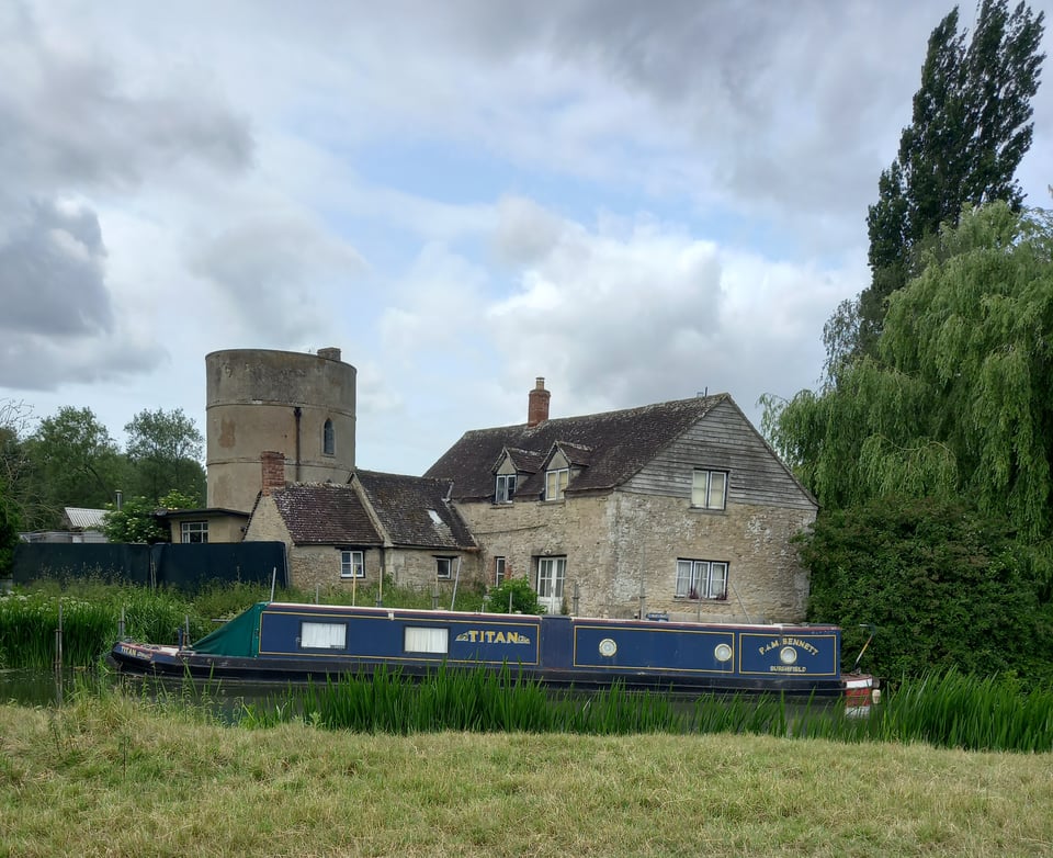
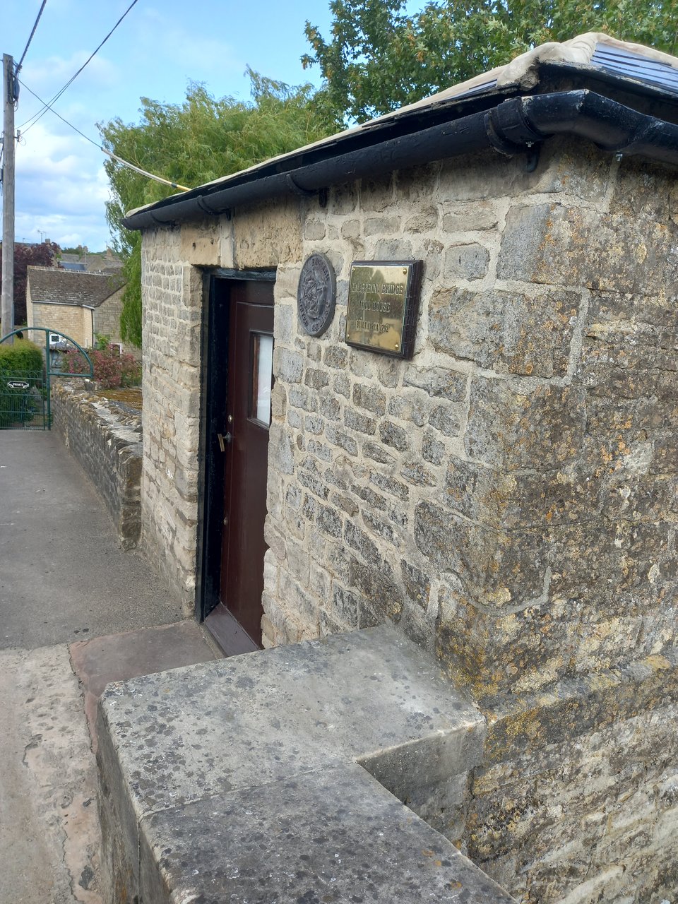
Still tired from the exertions of the first day, I decided to stop in Lechlade after seven and a half miles. I checked into a campsite right beside the trail and explored the village, picking up food for the evening, enjoying a snack in the tearoom, and taking a couple of pictures of Halfpenny Bridge, the official start of the navigable Thames.
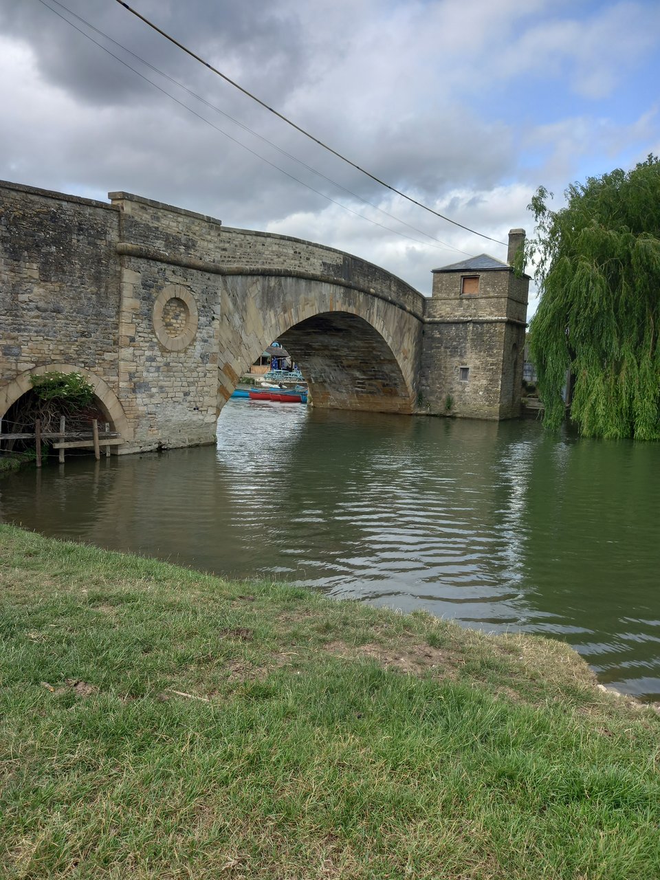
The name derives from the former toll to cross the bridge, but that hasn't increased in line with inflation because a revolt in 1839 forced its abandonment, although the toll booth is still standing.
The third day brought several challenges. The isolation of this part of the trail meant I needed to walk sixteen miles just to get within a bus ride of a campsite. I had hoped to make a short detour to see the ford at Duxford, which is classed as a ford across the Thames even though it crosses a separate channel two miles from the trail. But filthy weather and my own exhaustion rendered that an impossibility, and I had to settle for a resolution to come back next summer and see it then.
As well as all the obvious drawbacks of hiking through driving rain, I had a solar charger that I hoped to use to keep my phone going. With that clearly useless, my battery ran down until my phone quietly died somewhere along the trail. That meant I had no chance to get a picture of the bridge at Radcot, believed to be the oldest surviving bridge on the river.
I stopped for a cup of tea at the Trout pub on Tadpole Bridge, where I was also able to get just enough charge into my phone to get me through the rest of the day. I chatted to a westbound hiker, his journey almost done, and then plunged back into the rainy wilds.
Chimney Meadows probably looks glorious in good weather, but long grass tipping water into my boots and mud underfoot that I slipped on twice made it more of an endurance course. I made it to Newbridge by a little after five, and caught a bus to my campsite in the next village, but there was little to enjoy about the third day's walk. Even the end was soured by trying to pitch my tent on gravel and figure out a way to dry my soaked boots.
Everything was still damp at the beginning of day four, and the sky was still overcast. I tried to draw solace from the fact that it was drizzle rather than an actual downpour, and got back to the start of the trail a little before nine. When I paused at Northmoor lock for water, snack, and most importantly the chance to rest my aching feet, the lock keeper assured me it was forecast to brighten up later before offering me a Buddhist chant that was supposed to ease the ache. He also explained that, while many of the weirs along the Thames are mechanised now, he still has to manually adjust his in response to reports from upstream about the water flow.
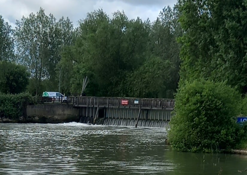
The Victorian infrastructure of the weir is still holding up gloriously, but some of the 1970s additions are already starting to fall apart and need investment if they're to continue to be a resource. I hope they get it, because the locks of the Thames are beautiful and fascinating, as well as being a vital resource for hikers and boaters.
The weather did indeed improve - I even managed to coax some charge into my power bank - but walking in soaked boots had already taken its toll. My legs were standing up well to the miles, but my feet were introducing me to new pains with every step.
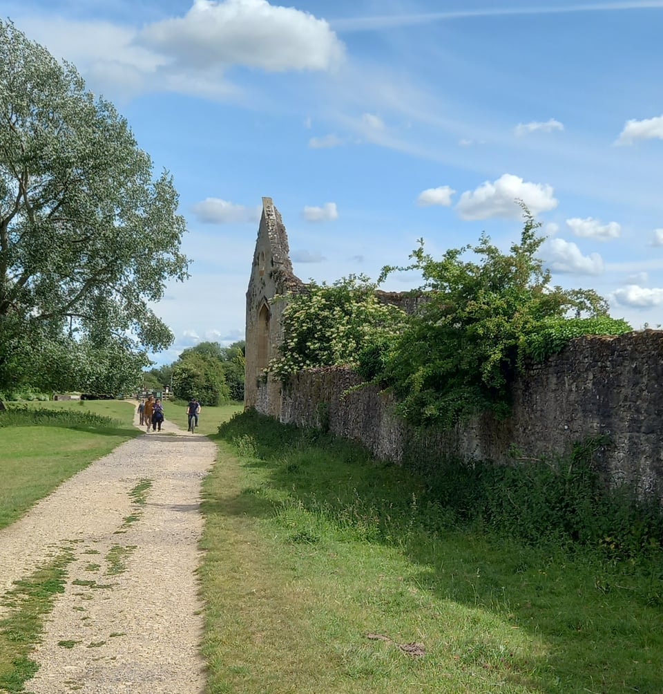
There were some lovely sights along the way. I didn't see any of the kingfishers promised in the guidebook, but I did see a delicate blue butterfly of a type I've never seen before, a heron so still I thought it was a model, and the remains of Godstow Priory. But the further I walked, the more my feet bothered me. I stopped whenever I found a flat place, took off my rucksack and rested my feet, but I suspect all it did was make going on a further test of my endurance.
I saw Oxford on the horizon well before I reached it. The guidebook claims the rowers use that stretch of river to practise, although they weren't around when I passed. I saw students having some kind of end-of-year frolic, scattering coloured powder on their academic gowns, and any number of people enjoying the sunshine and the river. But I couldn't linger, and had to keep moving until I came to Osney Bridge, the point at which I left the trail and headed into Oxford.
Almost immediately, I was plunged into the heart of a city, a little disorienting after two days on the most isolated parts of the trail. I made my way to my kid's college, fortunately not too far from the trail, and enjoyed the benefits of civilisation: a hot shower, a full charge for my phone, and the chance to do some laundry. And rest, of course.
Miles walked: 60 (including diversions)
Trail completed: 29%