Thames Path: Oxford to Henley
I had a decision to make in Oxford. The next recommended stop, Abingdon, had no campsites and no cheap hotels. Since I don't quite dare wild camp, that meant either booking an expensive hotel or getting the train home and being satisfied with the miles I've already done. Anyone who knows how stubborn I can be will be wholly unsurprised to hear I booked myself into the luxurious Crown and Thistle and, after making the most of my two nights in Oxford with hot showers and as much rest as I could get, plunged back into the trail.
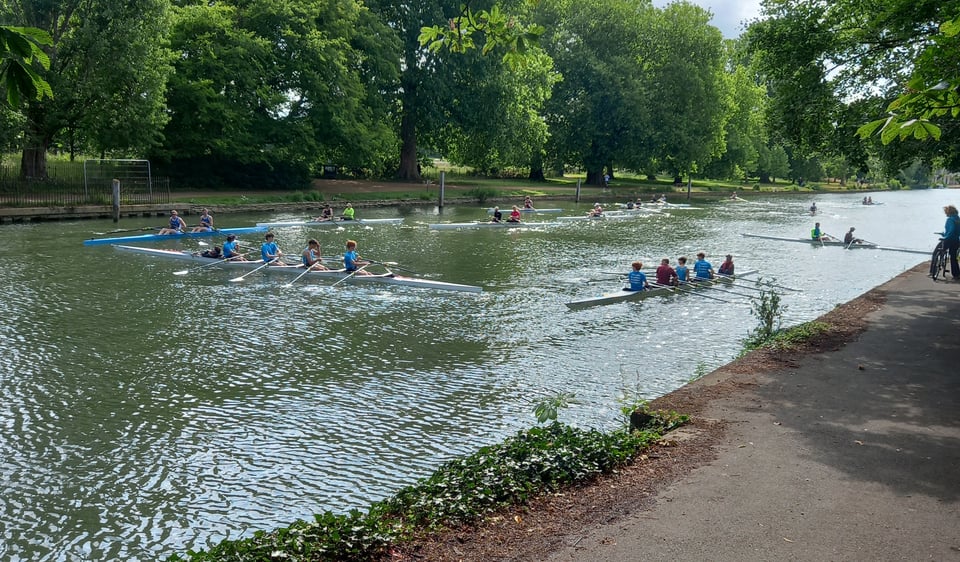
Out of Oxford, the trail is for a couple of miles a towpath and definitely urban trail. I passed various rowers, not all of them proficient - indeed, one of them capsized as I watched and went into the river.
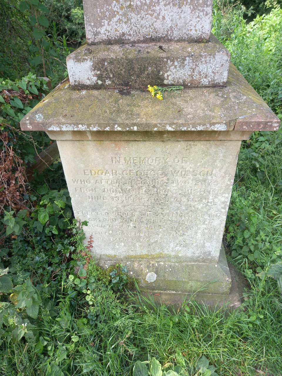
More sombrely, I passed a memorial stone to a young man who died saving two children from drowning, a reminder of the dangers that lurk beneath the river's seemingly placid surface.
Not long after the city gave way to fields, I passed another spot with a grim reputation. Sandford weir is known as "the Lasher", and was described by Jerome K Jerome as "a very good place to drown yourself".
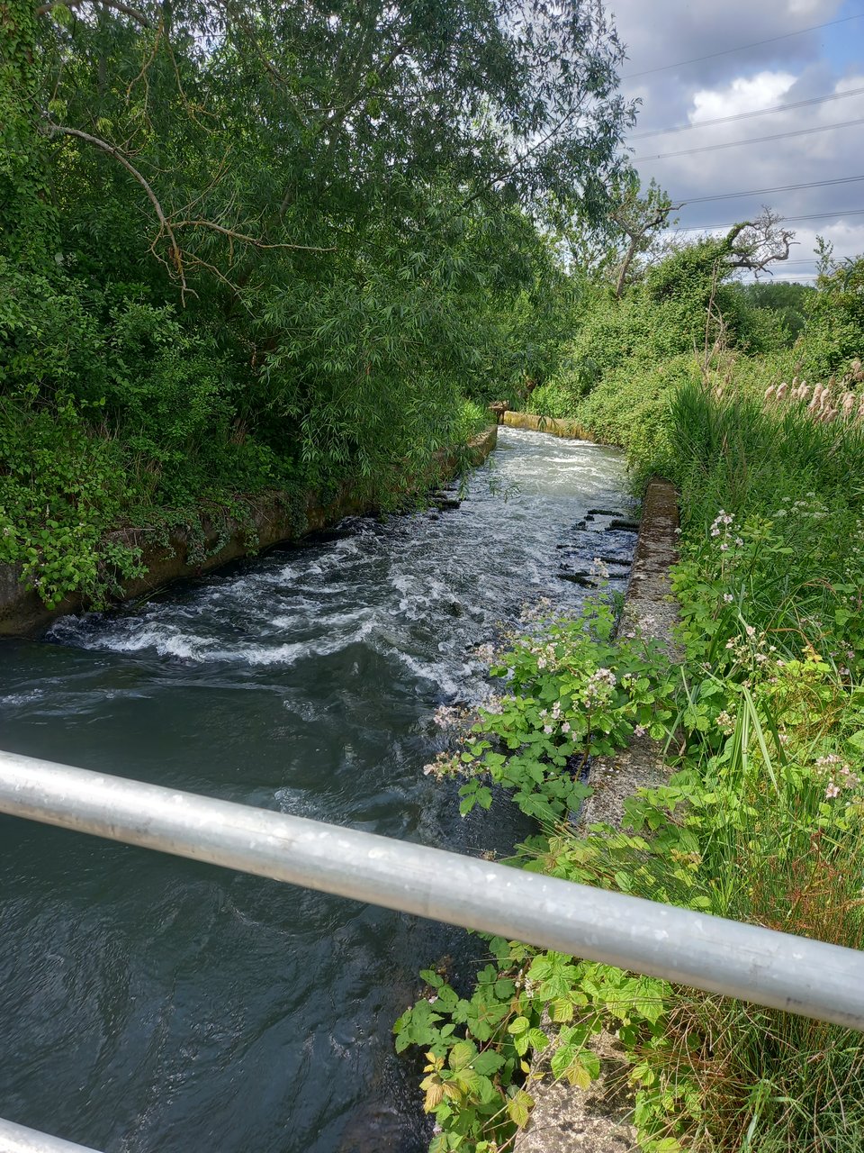
Many people have indeed lost their lives to its powerful currents, but I passed it by safely and reached a hydro station, harnessing that power to much more positive ends.

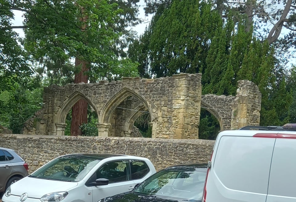
This section of the route was plagued by diversions, with bridges and locks closed on safety grounds, possibly because of the infrastructure issues the Northmoor lockkeeper talked about. Abingdon lock was inaccessible, and the diversion was badly signposted, so I turned instead to Google maps and found a direct route into town. I passed more religious ruins, and arrived on the same side of the river as my hotel rather than having to cross the bridge as I would have if I'd been on the path. I wanted to make the most of all the hotel had to offer, but my body just wanted rest, so I had to honour that.
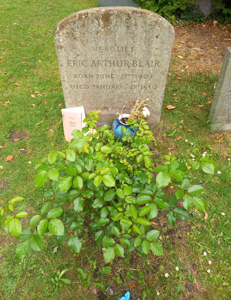
A night in a comfortable bed - I had crashed on the floor in Oxford - definitely helped, although I dreamed that the trail passed through my bedroom. In the morning, I was full of energy and made such good time to Culham lock that I could justify diverting to nearby Sutton Courtenay to check out George Orwell's grave. He's buried very simply under his birth name of Eric Blair, but his fans have left offerings like a copy of Animal Farm and, a little incongruously, a ceramic pig.
For pretty much the first time since Ashton Keynes, I passed through a village with a shop at lunch time. I bought a very nice loaf of bread, which I hacked about with my only knife to make a base for some ham, a simple and satisfying lunch. The path kept close to the river for most of the way, heading through meadows and nature reserves. There were many signs about how carefully they are being conserved, as well as what creatures you can expect to see, and I was pleased to see my old friend the dragonfly among the featured species.

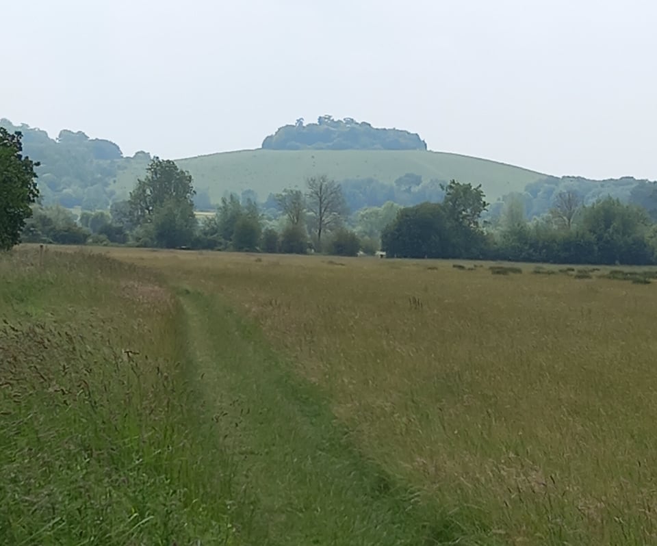
The most prominent landmark along this stretch was the Wittenham Clumps, a pair of hills that tower above the landscape with archaeological evidence to suggest they have been occupied as defensible high ground since the Bronze Age. Their official name is the Sinodum Hills, although they have many nicknames, some of them rather crude.
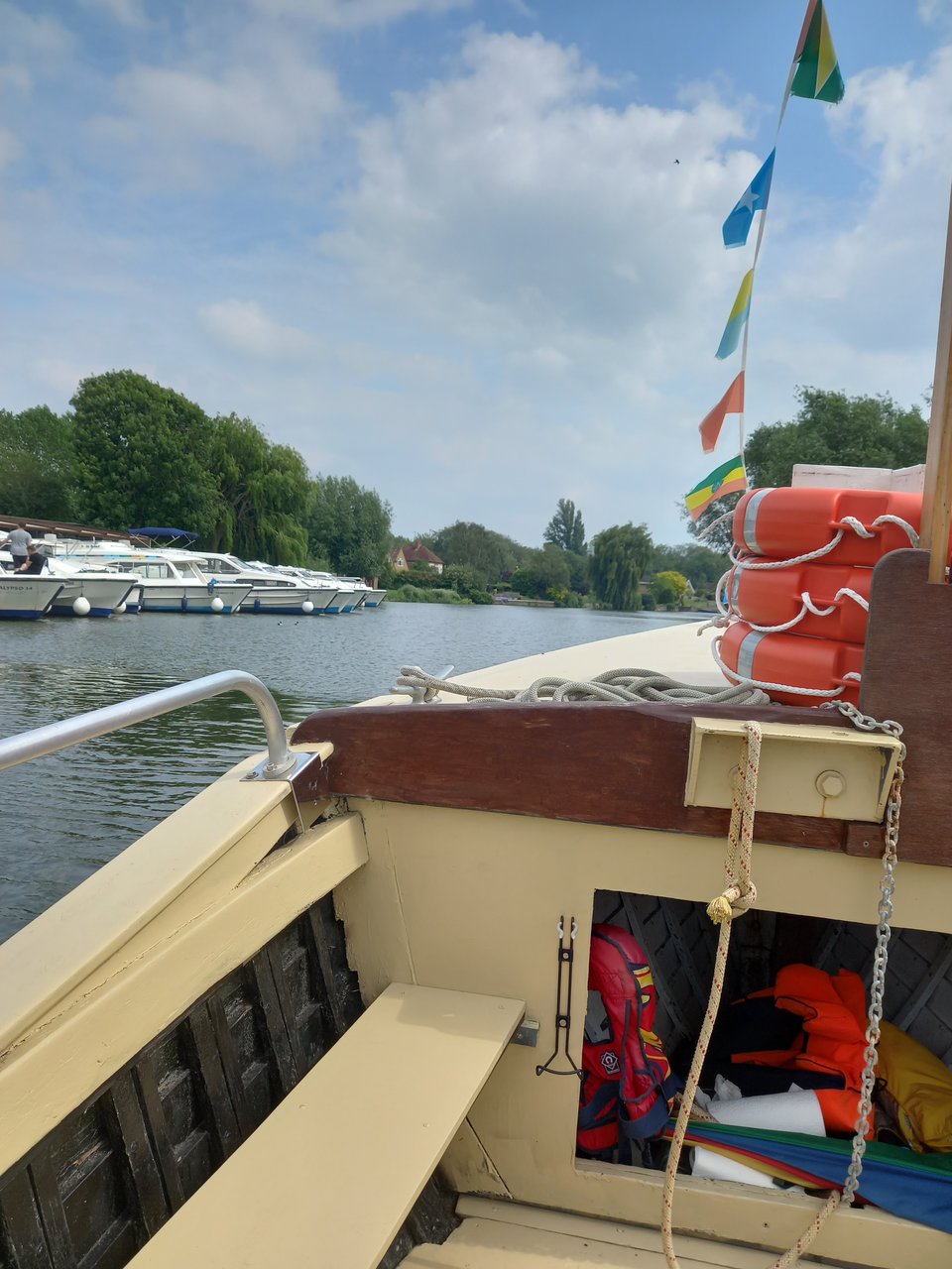
Not far upstream of Wallingford, Benson weir was inaccessible due to repair works - more of that crumbling infrastructure, no doubt. There was an official diversion to Wallingford Bridge, but an enterprising chap with a motorboat was ferrying walkers up to the lock for a £2 charge. So I didn't have to settle for walking alongside the Thames - I could take a boat on it too!
My day's travel was extended because I'd prioritised an Internet bookable campsite over the two closer to the trail that would have required a phone call. My chosen site was a couple of miles beyond Wallingford, more convenient to the nearby Ridgeway than the Thames Path, and brought new meaning to "isolated" by having campers check in by text rather than interact with another human. But that splendid isolation possibly made it more appealing to the bird - I'm fairly sure it was a red kite - that wheeled overhead while I was pitching up.
The next suggested destination, Pangbourne, once again lacked accommodation options to suit my budget, so I searched further afield and booked into a "basic" hotel in Reading. I could in theory have got a bus from Pangbourne and returned the next day to go over the missed ground, but even that felt too much like cheating, so I steeled myself for another 18-mile day.
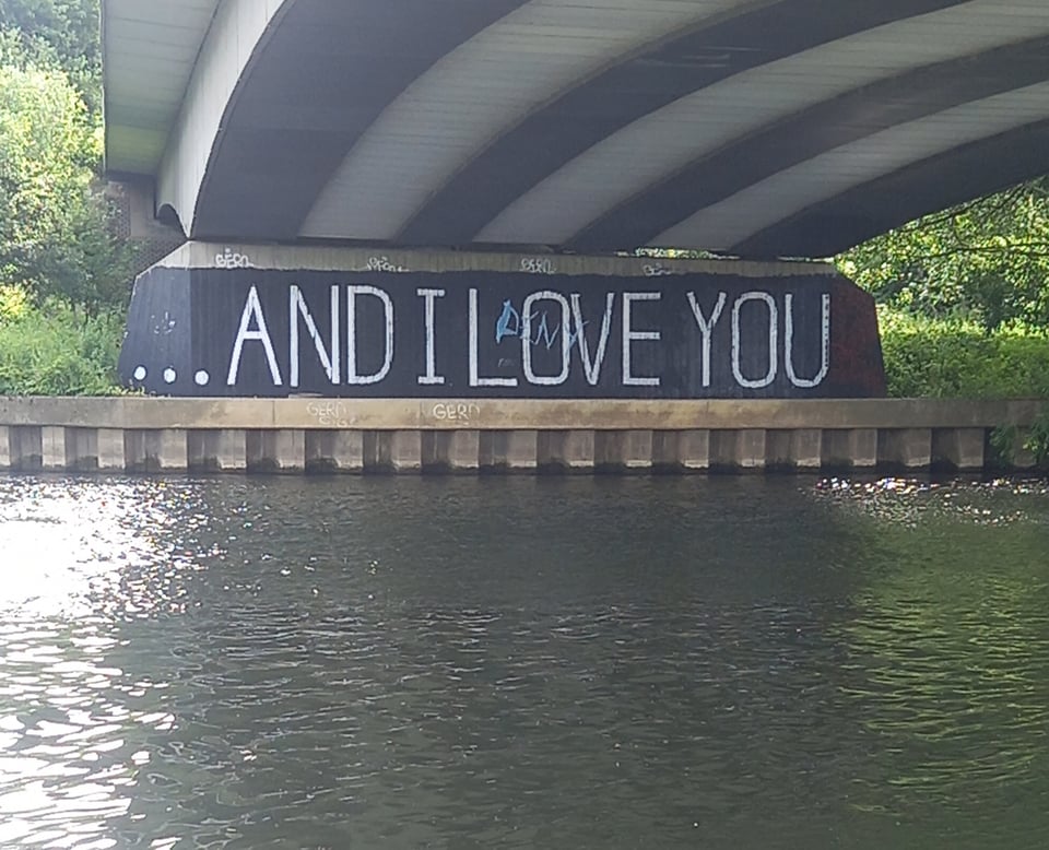
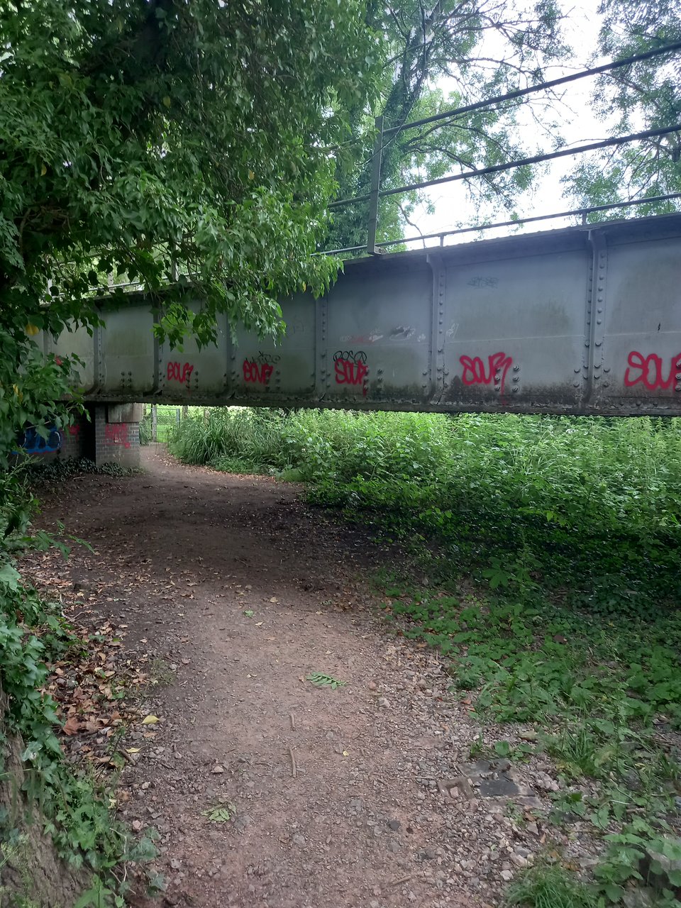
As if my body was aware of the punishment I planned to inflict on it, I felt exhausted almost from the moment I left Wallingford, despite taking the precaution of a bus from the campsite back to the trail. I was cheered slightly by some graffiti underneath a road bridge, and by a dog walker who asked where I was going and wished me luck.
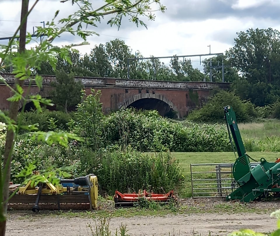
The biggest landmark in the morning was the viaduct, the work of Isambard Kingdom Brunel, that carries the Great Western Railway across the river near Moulsford. I could hear the trains roaring by long before I came within sight of the bridge, and despite my exhaustion I didn't miss the opportunity to photograph it.
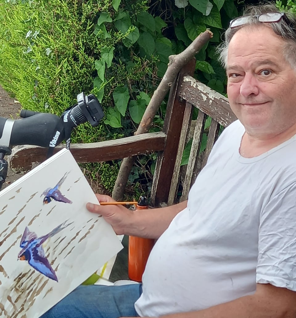
At Moulsford, the path left the river for a tedious slog through the village. As we rejoined it, I found a gentleman painting birds, apparently from memory, because I saw no sign of them over the water.
The twin villages of Goring and Streatley would have made a good lunch stop if I'd been making for Pangbourne, but mindful of the miles still to go, I bought the food in Streatley and ate it on a bench in the middle of another meadow a mile or so down the track. Some blue cheese smeared nicely on the last of the bread from the day before, and I was ready to attack the hardest section of the trail.
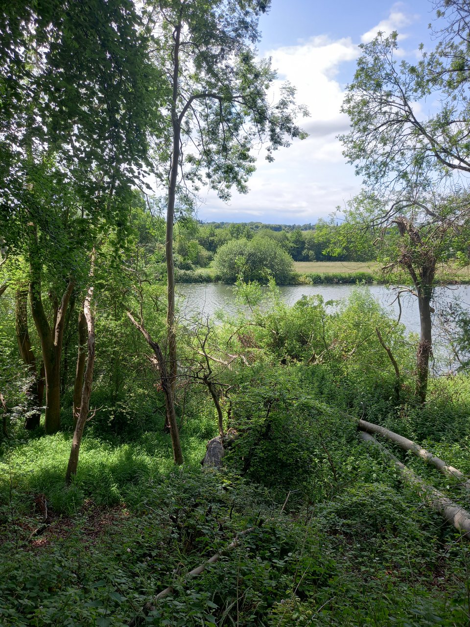
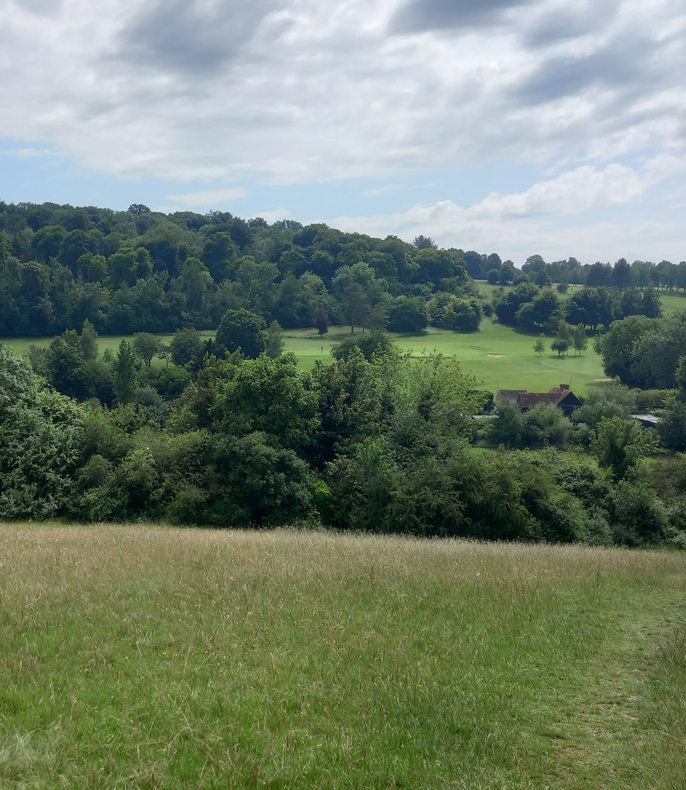
One great advantage of following the course of a river is that there's not a lot of hills to contend with. But at Goring Gap, the river cuts through the chalk hills, and the trail heads steeply upwards. A few relatively gentle rises allowed for attractive glimpses of the river, celebrating its victory over chalk by flowing a little faster. The steepest climb had steps to make things a little easier, but I was still worn out when I reached the top, and a little disappointed that vegetation cut off any inspiring views.
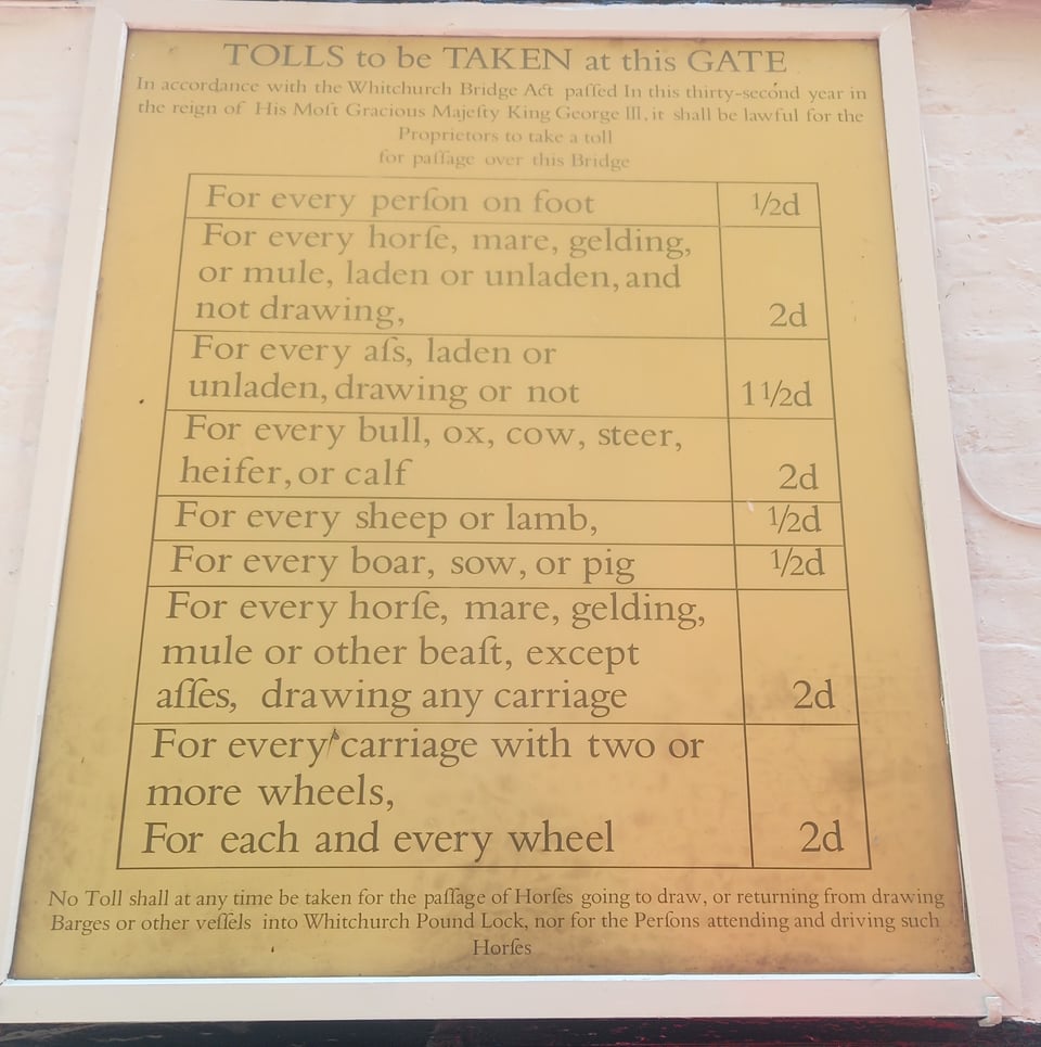
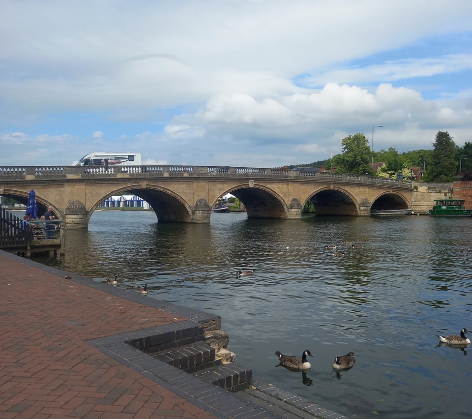
Satisfied that the worst was over, I didn't even really mind another chunk of road walk down into Whitchurch. There's a toll bridge across the river there, the toll booth fully operational and taking payment from crossing cars, but as a pedestrian I was allowed across free of charge.

Pangbourne would have been the perfect place to rest, but I had committed to seven more miles. I rested as long as possible and drained my water bottle, which I was abjectly grateful to be able to refill at Mapledurham lock. The lock also boasts a working water mill, but it's over on the weir side, with trees in between, so I couldn't get a photograph.
The trail took me through the village of Purley, which had such a suburban feel that I was sure I must be close to Reading. Unfortunately it then gave way to another isolated stretch, with the railway line roaring just out of sight as the sole reminder of civilisation. I passed the site of Reading Festival, but there was nothing to see, not even a sign to mark the location.
I made it as far as Caversham Bridge before cracking and looking for public transport options to my hotel. It was just as well I didn't have to pitch a tent, because I was thoroughly exhausted by the time I arrived.
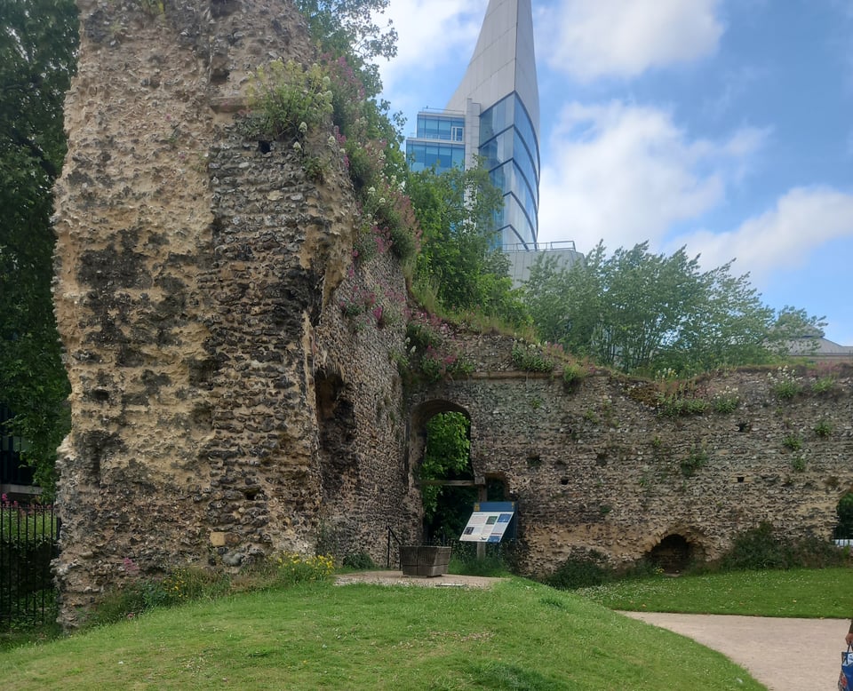
I couldn't find a campsite in Henley for the following night, but I found one for the night after, and decided that a rest day in Reading would be a good idea anyway. I spent much of the day sitting in coffee shops and writing up the journey so far, although I did manage a quick look at the ruins of Reading Abbey. The monks probably knew all about long journeys on foot, although they had the advantage of simple resting places at regular intervals, sparing them the need to carry camping equipment on their backs like me.
I spent the night in the YHA hostel in Streatley, which meant a train journey back along the route that cost so much effort the day before. It was a little disorienting to double back on my tracks that way, but the hostel made up for it, a perfect middle ground between the austerity of camping and the luxury of a hotel.
A 90 minute bus ride the next morning brought me back to Caversham Bridge ready to pick up the trail where I left it. Along the next stretch was a bit of ground I already covered last spring. Staying in Reading ahead of my kid's offer holders' day in Oxford, I noticed how close we were to the Thames and took a five minute stroll along the bank. Just opposite was Fry's Island, just large enough to have room for a boathouse and a bowling club.
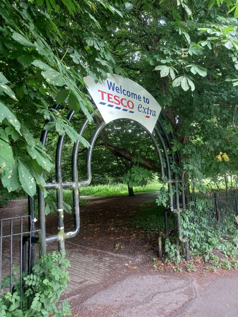
Beyond Reading Bridge, the path felt isolated again, but with plenty of hints at civilisation just out of sight. Perhaps never more so than when I spotted this sign for a big Tesco - the supermarket itself was screened by trees, but the sign alerted anyone passing who might be in need of supplies.
A bridge over the River Kennet offered a different view of the Thames for a moment, and then we were back into open country. Rowers were practising all along this stretch, including students from a college that backed onto the river, who were apparently training in the less glamorous but still necessary skill of carrying the boat.
At Shiplake, the trail passed under a couple of railway bridges. I was initially confused that I couldn't hear the roar of passing trains the way I had for the Moulsford viaduct, but the answer was simple. I had left the Great Western Railway behind and this was a much more lightly used branch line. The second bridge, crossing the path but not the river, was low enough that I had to stoop to get under it - no easy feat with my heavy pack.
Just beyond the bridge, I found a sign announcing another lock bridge closure. This time there was no enterprising ferry service and I had to take the official diversion down a succession of footpaths. Signage was haphazard, and I ended up losing the path and having to figure out a route through fields and down lanes. I even had to climb another hill, although this one at least had a decent view as a reward.
When I reached the outskirts of Henley, I went into the first pub I passed for Coke and commiserations. The staff and other customers confirmed that the bridge has been closed for some time, spoiling what they assured me was a nice walk. From then on it was just a matter of following the main road into town. I wandered past the station in order to find the river more quickly, but I never did find the other end of the official diversion and I didn't reunite with the path proper until I reached Henley Bridge.
Miles walked: 123
Trail completed: 56%