Last Week of Summer
Bonus! We went sailing for one more week at the tail end of summer. The days are getting shorter and cooler, and I'm going back to work soon, so this was one last hurrah to round out my leave of absence.
This is the first trip where we turned left instead of right out of Sound Boat Works, to explore the waters south of Parry Sound.
August 27: Peak Island/Bear's Head
The initial task is to get through the swing bridge that connects the mainland with Parry Island. The bridge opens on the hour but won't open if it's too windy. There are incredibly detailed rules for deciding whether it will open, indicating the presence of conflict and compromise between people who want it open (boaters) and those who don't (residents of Parry Island). Excerpt: "The bridge will not open on the hour when the 10-minute average wind speed, 10 minutes prior to the hour exceeds 30 km/hr. If it did not open on the hour, it will open at the half hour if the 10-minute average wind speed 10 minutes prior to the half hour is 30 km/hr or less." It's an aging bridge and has in the past got stuck open (or shut, I'm not sure which) due to high winds. The wind was 7 knots or 13 kph so we went through okay.
We motored all day today (another first) because the channels are narrow and not suitable for sailing. Luckily narrow channels make for good scenery so that compensated for not being able to sail. It rained off and on. We anchored just off Peak Island near Bear's Head on Parry Island, and were alone except for a bald eagle that we saw perched on a pine tree when we rowed around Peak Island. He was still there an hour later, Andy thinks digesting his last meal, but eventually flew off.
August 28: Wreck Island
Sunshine today, and we got to sail. We put a reef in the sail for the forecast high winds. While leaving the anchorage I messed up the steering through the narrows because we were going directly south but the chart plotter is oriented with north at the top - so I got left and right messed up and was steering towards some shallows! No harm was done but we were in less than 10 feet of water for a few anxious seconds. Our draft is just over 6 feet, so anything less than 10 is time to pay extreme attention.
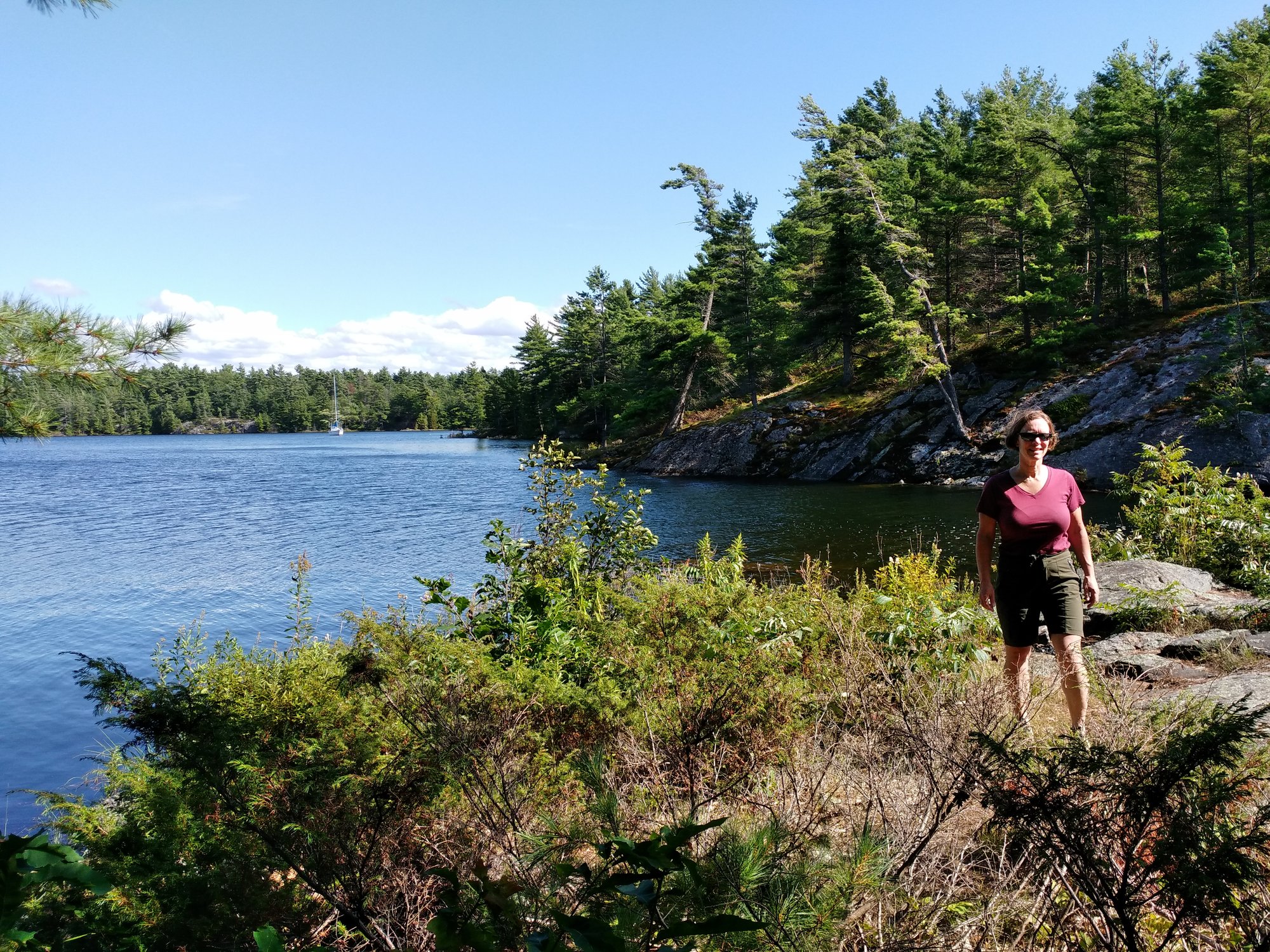
We anchored to the north of Wreck Island, between it and Bradden Island. Here and for most of the rest of the trip, we were in The Massasauga Provincial Park. It's a relatively new park, established in 1989, that is accessible by water only. It is a mix of Crown land with some legacy cottages but it's great to see this large area of islands preserved for backcountry activities. Note the name is "The Massasauga PP", not "Massasauga PP". I guess the region was called The Massasauga. This deliberate inclusion of "The" takes a bit of getting used to.
We bushwacked across the island to find the start of the interpretive trail at the day use dock. It was a scenic and rugged trail with interesting rock formations and nice windy views out onto the open bay and crashing waves. It was marked by toaster-sized boulders with each face sanded smooth and some with interpretive stop numbers engraved. Andy had to read the blurbs aloud from the trail guide brochure because I didn't have my reading glasses, oops.
Wreck Island is named after the Waubuno paddle steamer which was lost with all hands in a gale in 1879. The hull is supposed to be visible in shallow water just off Bradden Island, if you use a mask and snorkel, but we didn't have its GPS coordinates and by next day when we did, it was too windy to try. Maybe next time.
August 29 Three Finger Bay
High winds! Left Wreck Island and headed in to the heart of the park. The most exciting part was rounding a corner and then seeing that we were to go right between two islands (Yankanuck and Stone) that were a lot closer to each other than Andy had expected when planning the route. He later told me that the wind was so strong he was unsure he'd be able to hold the wheel to keep us on course. But we successfully screamed between the two islands and into safer water.
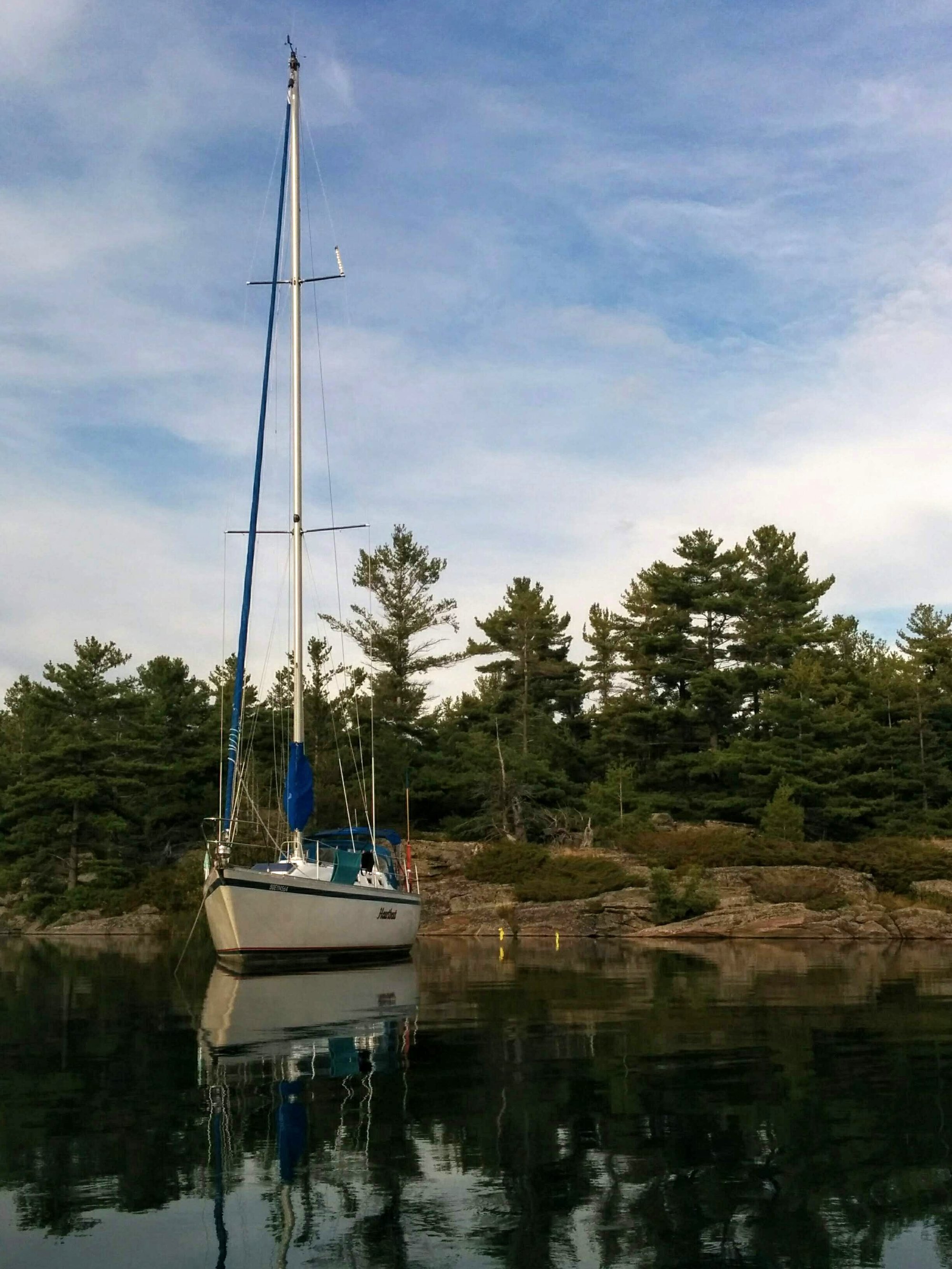
We turned more downwind and had a nice sail through channels and islands, then around a corner past a cliff into Three Finger Bay. We wanted to get out of the wind as it was forecast to get even stronger overnight. We anchored near the nexus of the three long fingers and in the afternoon rowed up and down each finger. It was sunny and tranquil.
Photo: Three Finger Bay, Heartbeat in the distance
August 30 Echo Bay
Today we did an unplanned man overboard drill with my pink Nvidia hat. We had just dropped the sail to motor through a tricky bit, but were still in safe water, and the wind took my cap. Luckily it floated so we turned and I used the boat hook, laying on my belly on the side deck, and reached down to retrieve it. Success! As a counterpoint, here's a list of things we have previously offered to the lake gods and did not get back: a bucket, a tape measure, and a clothes-pin. Those were all while at anchor though.
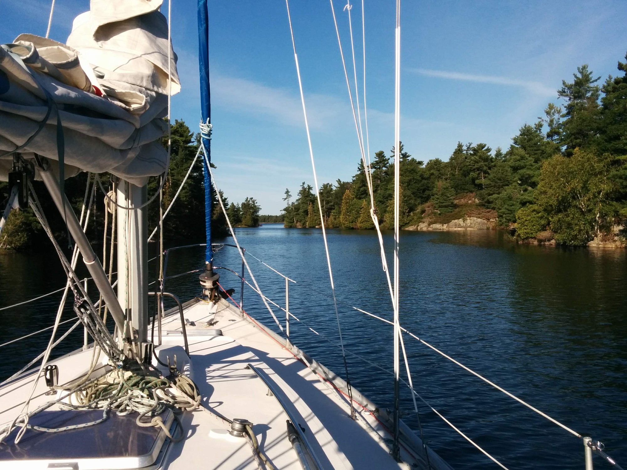
Sailed past Frying Pan Island and motored into the narrow twisty entrance to Echo Bay. We expected more boats here as it was closer to the main channel, and indeed there were about 10 boats in the south bay. We decided to try the north bay which we knew had a tricky entrance. I stand at the bow looking for rocks and Andy goes dead slow. Yikes - I see the bottom! We gently bumped, ugh, and quickly reversed out of there. The south bay was not looking so bad now and that's where we anchored.
Spent the afternoon rowing and exploring the pretty channels. Wind strong. Watched a group cliff jumping in the north bay which looked like fun. When we got back to the boat, the head (bathroom) floor was flooded. Oops, I had left a lever in the wrong position and water was trickling in to the toilet bowl and had overflowed. We used the electric shower pump to clear most of it and a hand pump to get the water out of the bowl. Lesson learned, close the sea cocks when leaving the boat.
Photo: Echo Bay
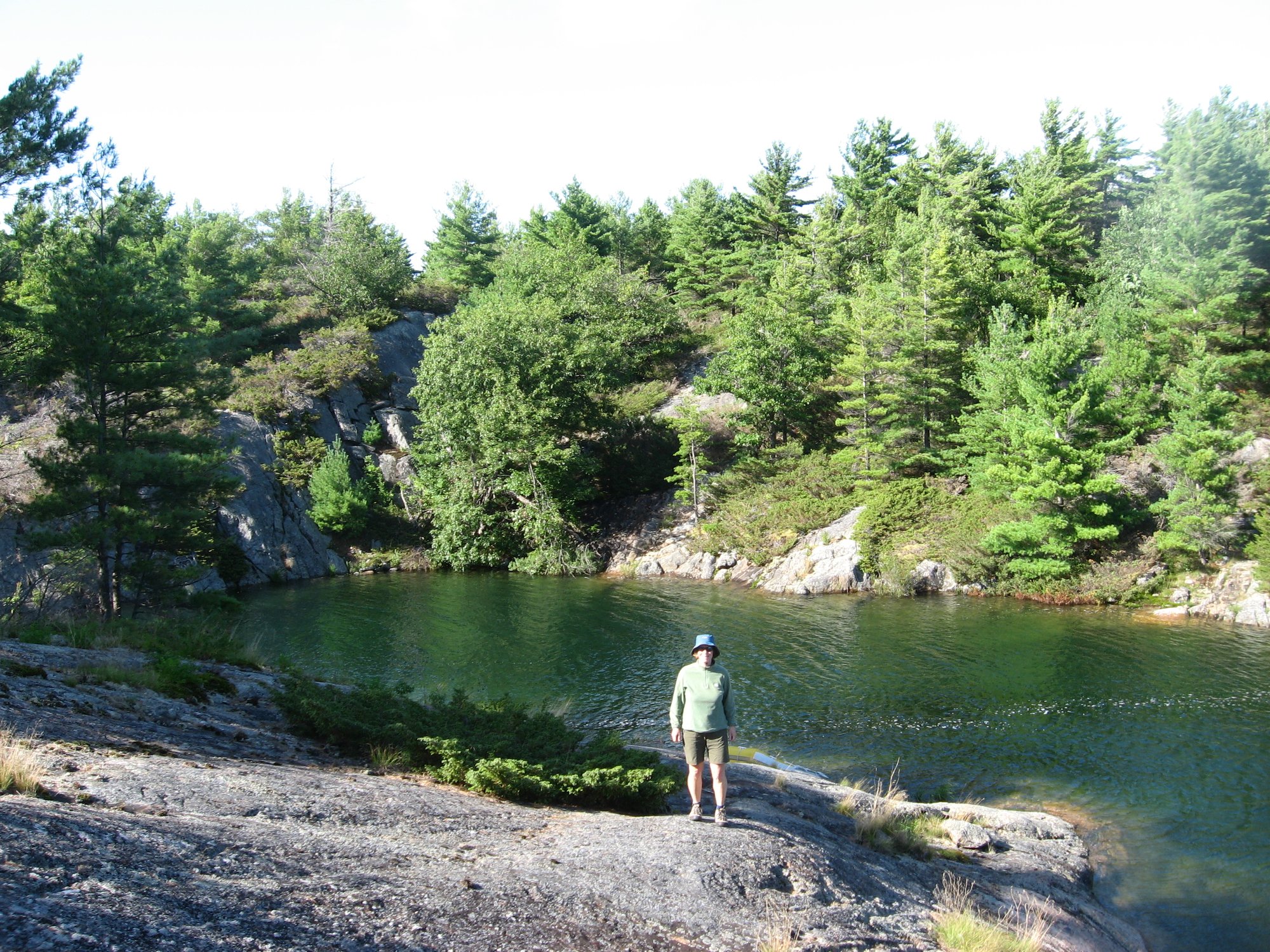
Photo: Leaving Echo Bay the next morning
August 31 Jones Island
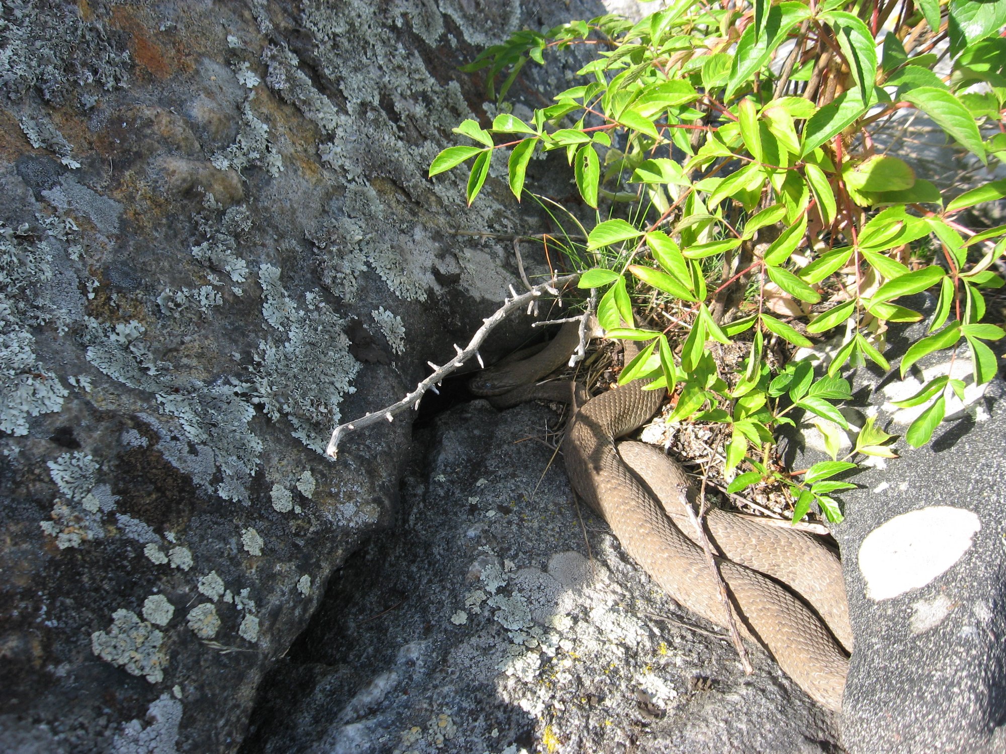
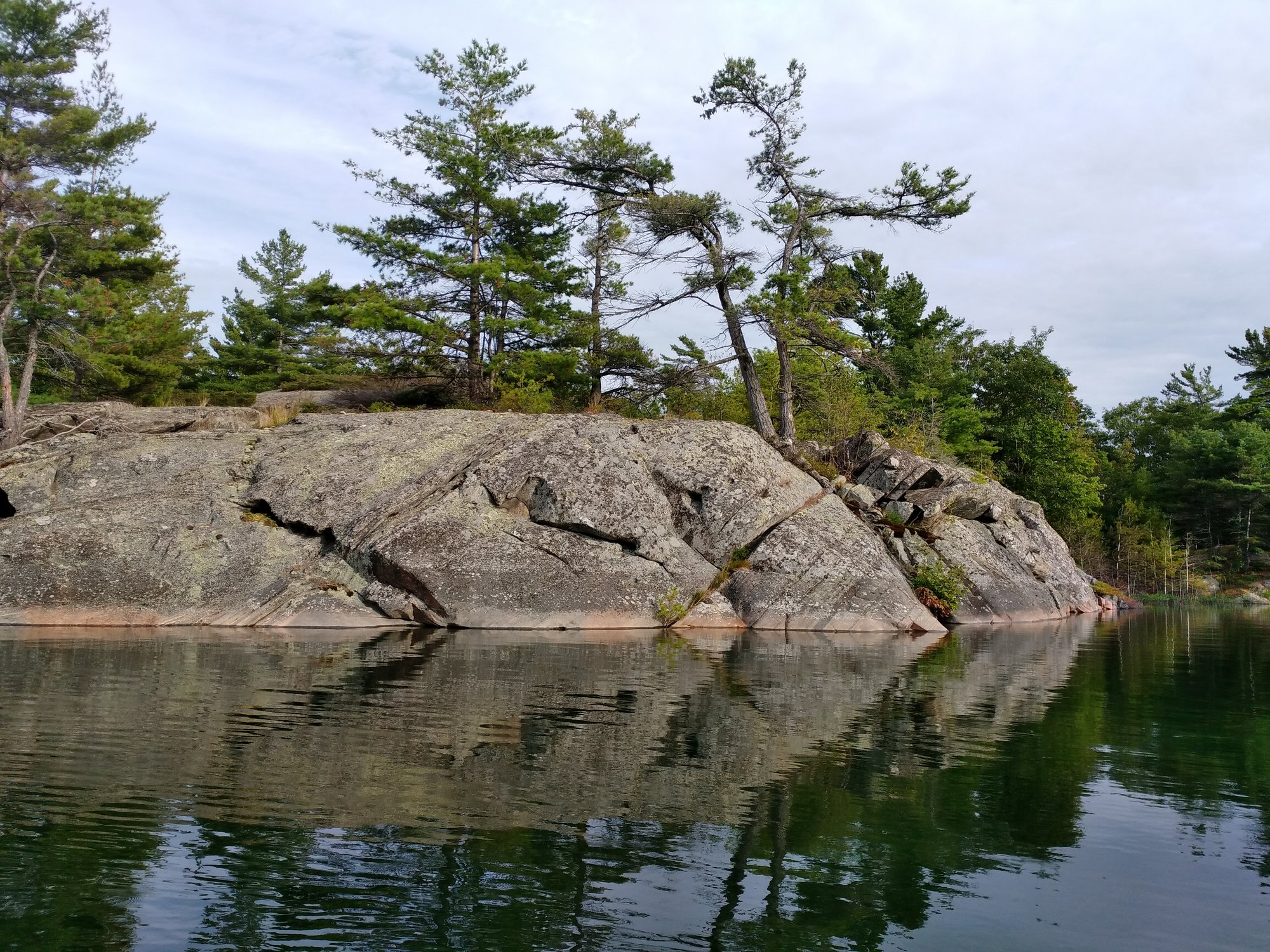
Nice sail up the Waubuno channel, around 4.5 hours which was longer than previous days. Jones is a very pretty anchorage, lower rocks and islands than in The Massasauga. The wind was light and sun sparkled on the flat water. We rowed to Jones Island and walked ashore in two places admiring the patterns in the exposed rocks. We saw a snake, sleeping. A thinks it was a water snake. Wandered on the massive rocks in front of the Jones Island lighthouse.
Jones Island was used as a bee-breeding colony in the 1880s before the lighthouse was built in the 1890s. I like to think of the beekeeper inspecting his bees on a lazy summer day.
Photo: Folding rocks on Jones Island
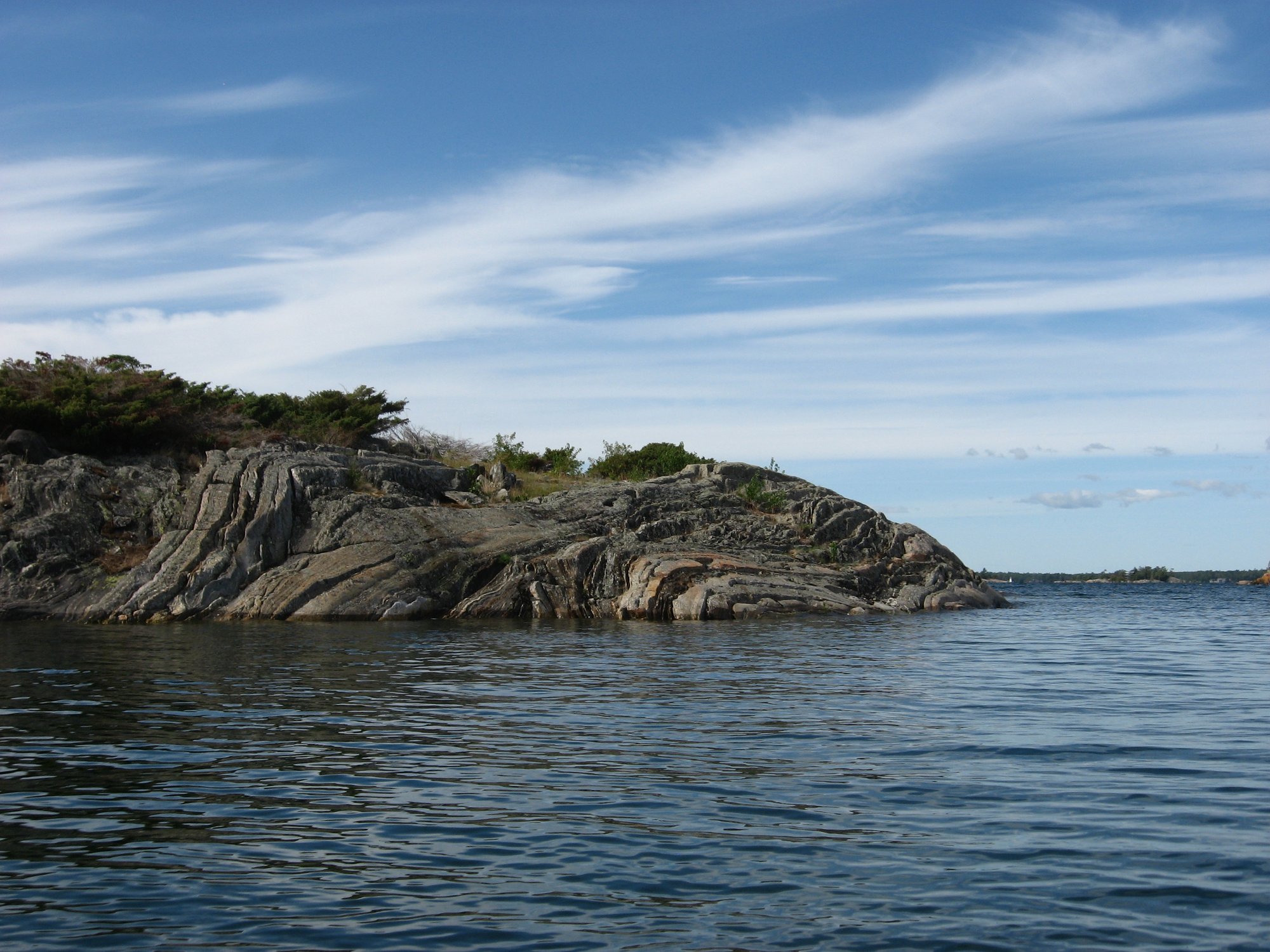
Photo: Snake (water snake?)
September 1 Windsor Island/Franklin Island
Leaving Jones Island we almost had another bottom-kissing incident but this time we reversed fast enough to avoid it. So we're getting better.
Franklin Island is mostly Crown land and very popular for sea kayaking and canoe-camping and boating. It was busy on this Sunday of the long weekend, but many of the boaters in the Windsor Island anchorage were day users and disappeared by 5 o'clock. Getting into the anchorage was even more twisty and sinuous than Echo Bay, but plenty deep so we had no close calls.
We did our first shore tie ever! A short tie is used if you don't have room to swing 360 degrees around your anchor. We dropped the anchor off the bow as normal, and then I, ready in my bathing suit, jumped in with a rope tied to my wrist and swam to shore. At first I ran out of rope so Andy had to let out some more scope for the anchor. I had been practising my bowline knot ahead of time and used that to tie us to a tree. We tied some yellow rags to the rope as a warning so no one would get accidentally guillotined by it.
Photo: Our first shore tie
This area is beautiful, lots of inlets to explore and open rocky shoreline to walk on facing out on Georgian Bay.
Photo: Pond on Franklin Island with Georgian Bay beyond
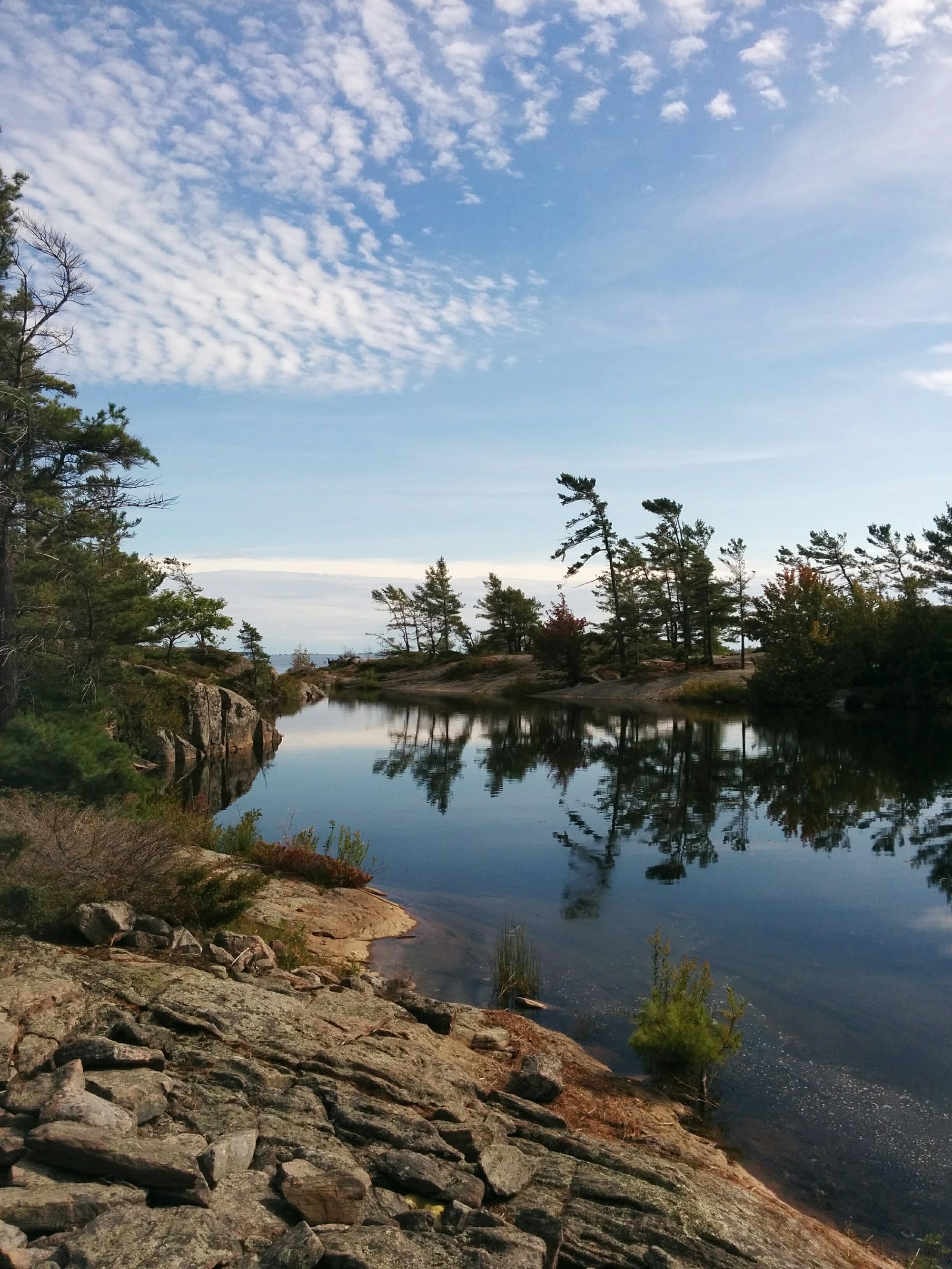
Photo: Rocks in Windsor Island anchorage
September 2 Parry Sound
We officially complete the circumnavigation of Parry Island, returning to Sound Boat Works from the north. The winds were right to sail into the harbour which is so much nicer than motoring even though it takes more time. We had to take a big tack to get the right angle, and then hope that we had enough momentum to get through the narrows after the winds dropped in the lee of the point.
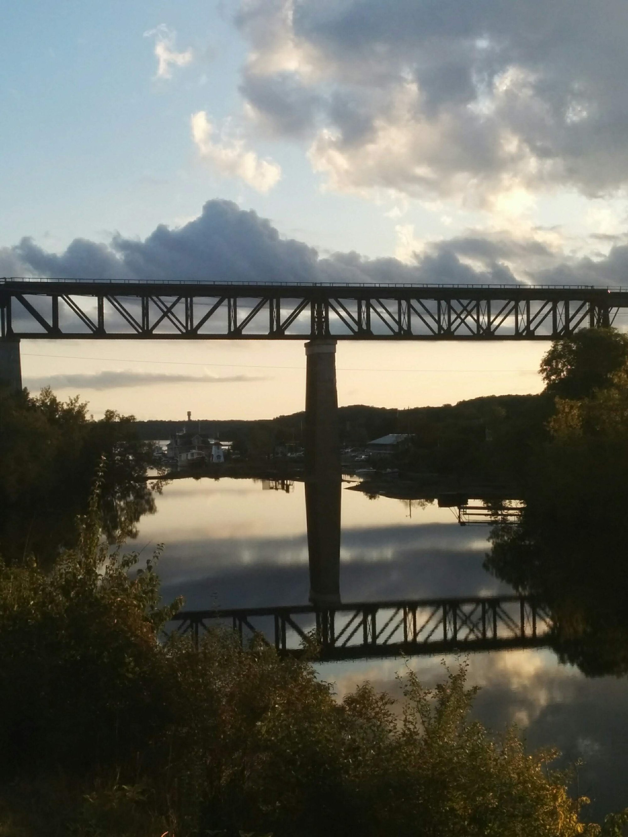
After boat chores and a run, we treated ourselves to dinner out at the Trestle Brewery, on the patio with a view of the trestle bridge reflected in still water and a dramatic sky.
Photo: Trestle bridge from brewery patio
September 3 Drive back to Ottawa, with a stop at Henrietta's Pine Bakery in Dwight and a picnic lunch in Eganville.
We've been back in Ottawa for a day now and the physical memory of the boat's motion still lingers - I feel the ground swaying slightly when I sit down, and gentle rocking and bobbing when I'm lying in bed at night. That will soon fade but I'm left with happy memories of living on the boat and exploring, and I'm well refreshed and ready to go back to work.