Exploring the North Channel
Latitude: 45 degrees 57.414 N Longitude: 81 degrees 38.467 W
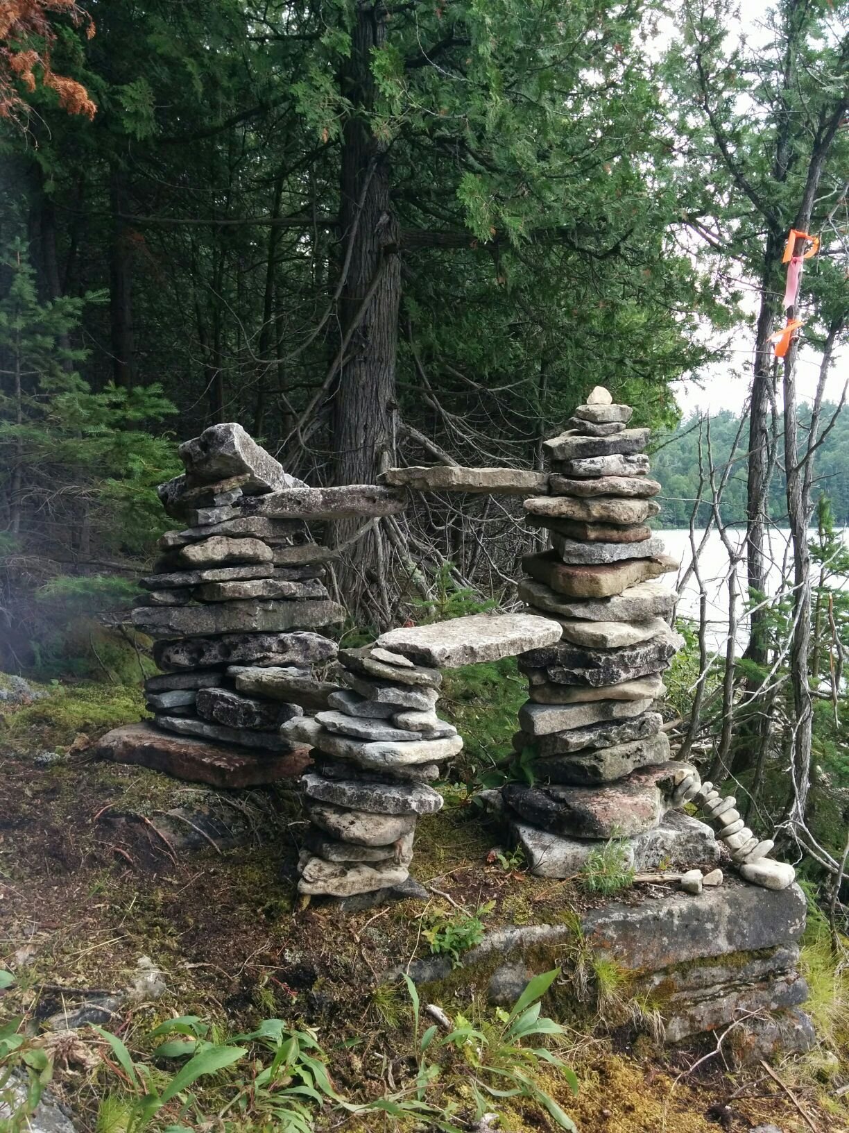
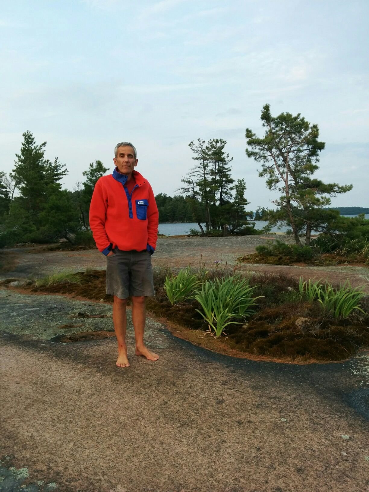
We are in Snug Harbour near Killarney, and staying two nights to wait out the weather forecast of strong winds and thunderstorms. The anchorage is aptly named. It has a narrow shallow entrance so we came in very carefully late yesterday. It's small and almost entirely enclosed by green forest and not much wind gets in here. The thunderstorm did pass through earlier this afternoon, followed by a few hours of rain, so we're very glad to be here and taking a day without travel. This morning we hiked across the peninsula to a beach said to have fossils in almost every rock. We did see a few small sea creature skeletons along with an elaborate rock structure marking the trailhead from the other side. Notice what looks like a flying buttress on the lower right-hand side.
Photo: Trailhead marker on Frazer Bay side of hike from Snug Harbour
Continuing from the last post, here are some daily highlights.
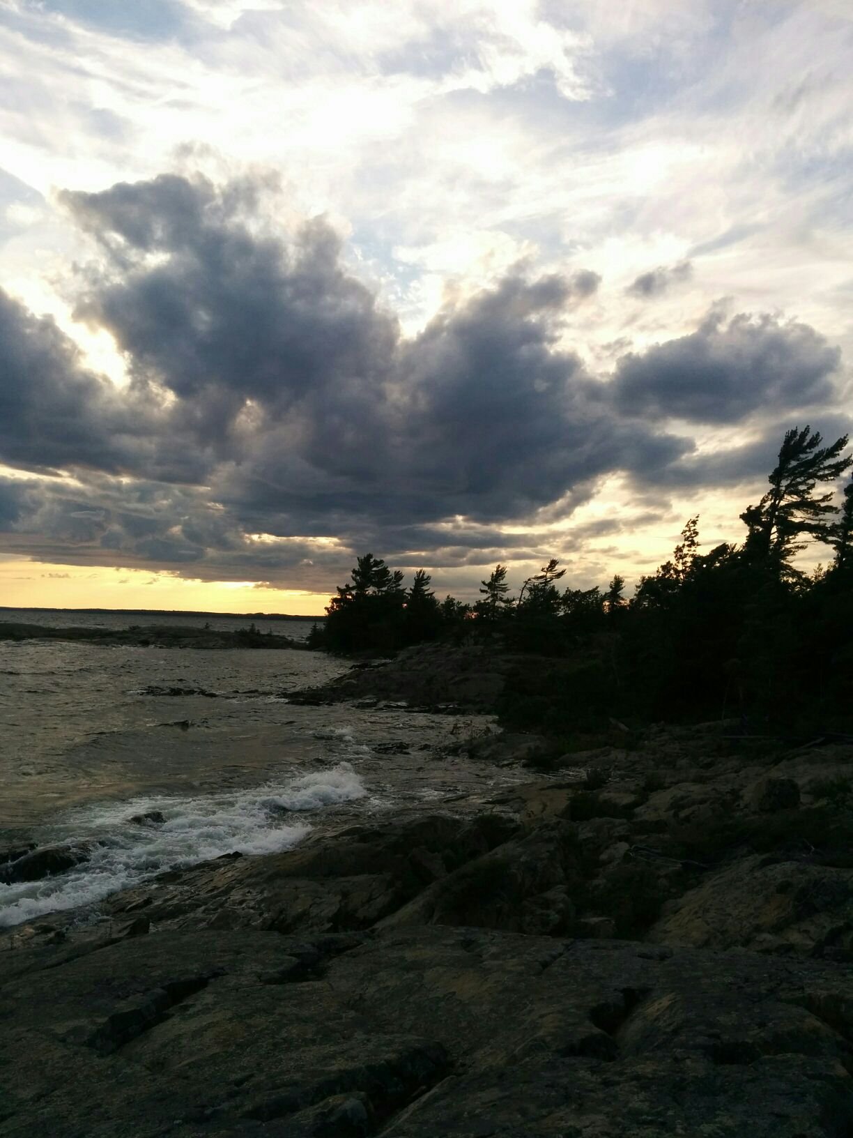
Day 17: Logan Bay to Eagle Island harbour. Hiked across the island to the rocky windswept side. Here hiking involves bushwhacking and scrambling as there are no trails and you're not sure what you'll find. We try to remember to set a waymark on Andy's phone and record our track so that we have a hope of getting back to the dinghy. On this hike we stumbled on a vast ancient beach in the middle of the woods, a field of rocks with curved wavelike ridges showing the different water levels over the years. It was unexpected and impressive. Then we got to the current-day shore where the waves were crashing on a similar rocky beach. This photo was taken on the point next to the curving bay.
Photo: Dramatic sky and surf on the windward side of Eagle Island
Day 18: John Harbour between John Island and Dewdney Island. A lovely lazy sail that later picked up to be quite exciting as we rounded into the Whalesback channel and dropped anchor in John Harbour. We were the only boat there which is unusual for this trip.
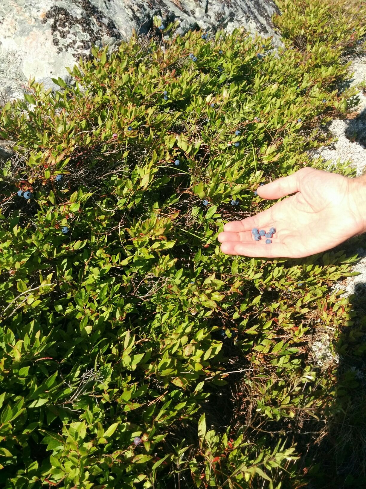
Photo: Harvesting blueberries on Dewdney Island
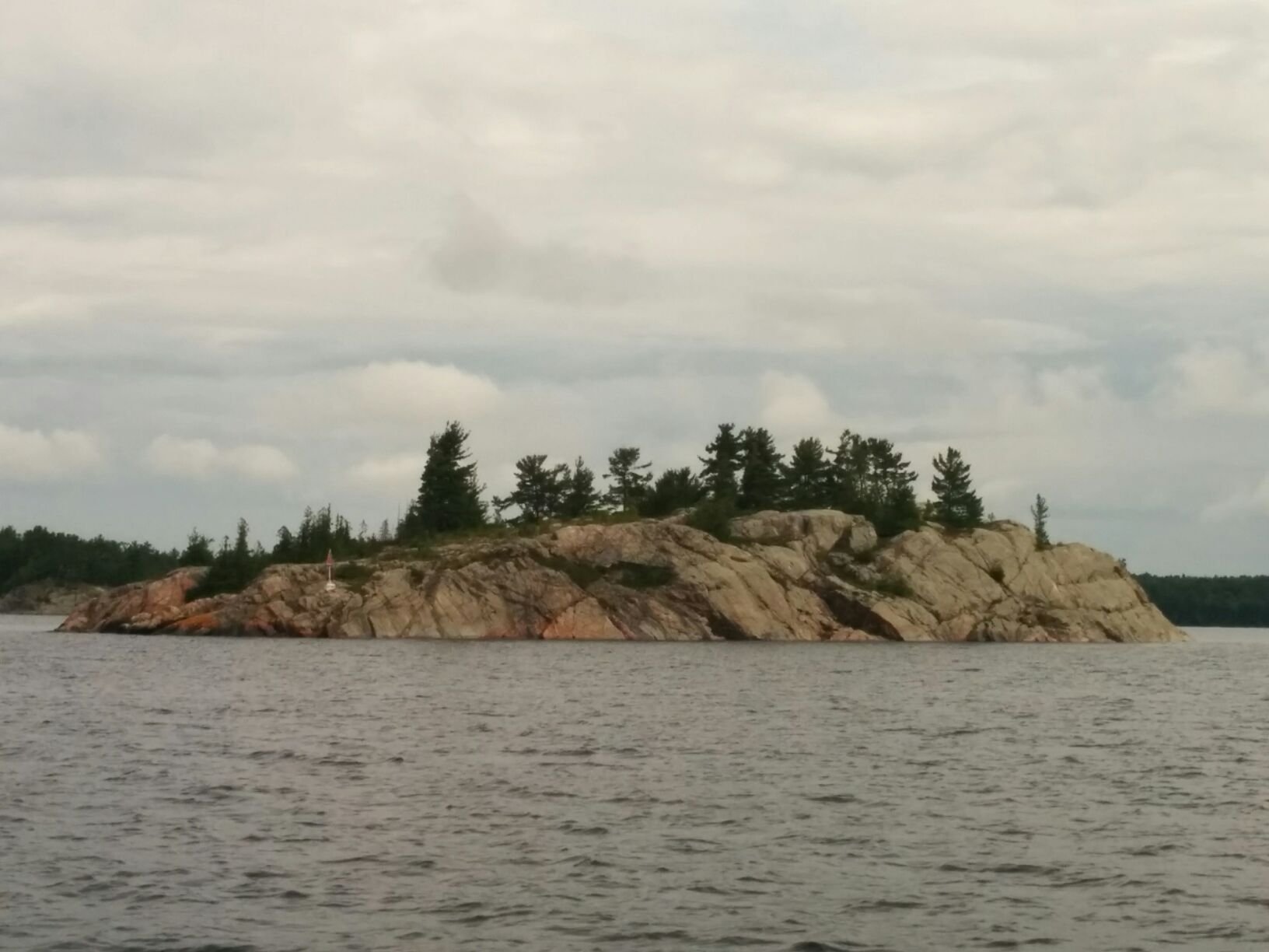
Day 19: Whalesback channel to Hotham Island. The channel is named after Whalesback rock - does it look like a whale to you? There is a nice story about the surveyors in the 19th century doing depth soundings in the area, two per boat rowing back and forth and dropping a leadline to measure the depth at regular intervals. As an aside, Andy bought an actual leadline and we've been playing with it. It has a cone-shaped lead weight at the bottom and red beads spaced a metre apart. When the lead goes thunk you know you've reached bottom. There's a small hollow at the bottom of the lead weight and sometimes it will bring up a sample of the bottom. I unknowingly did this and ended up dropping a splotch of black mud in the cockpit. Anyway - the 19th century sounding crew were being pestered by mosquitoes and to give them relief the captain allowed them to camp out for the night on the Whalesback rock instead of on shore. They beached their dinghy on the tail and climbed up the head of the whale to sleep where the breezes kept the bugs away.
Photo: Whalesback Rock after which the Whalesback channel is named
The sail down the Whalesback channel was beautiful, lots of rocks and islands. A highlight was seeing a bald eagle up in a tree, at the same time as strange bird calls which we thought must have been the eagle but didn't really sound like an eagle. Andy then spotted two sandhill cranes on the ridge of the same island, massive and reddish brown with long legs and graceful necks. We had heard this unusual sound once before on our trip but hadn't connected it with a bird sighting yet.
To exit the Whalesback from its eastern end you go through Little Detroit. No, this is not a smaller version of Motor City. Andy had to remind me that Detroit is French for narrows. This spot is narrow and has limited visibility. We copied what we'd been hearing on the VHF radio while in the area and made our announcement - "Securité, securité, securité - a 36 foot sailboat under power approaching Little Detroit from the west in approximately 5 minutes - any conflicting traffic please advise" and had no issues.
Hotham was a lovely anchorage with views of Mount McBean to the northeast.
Photo: Evening row in the lilies 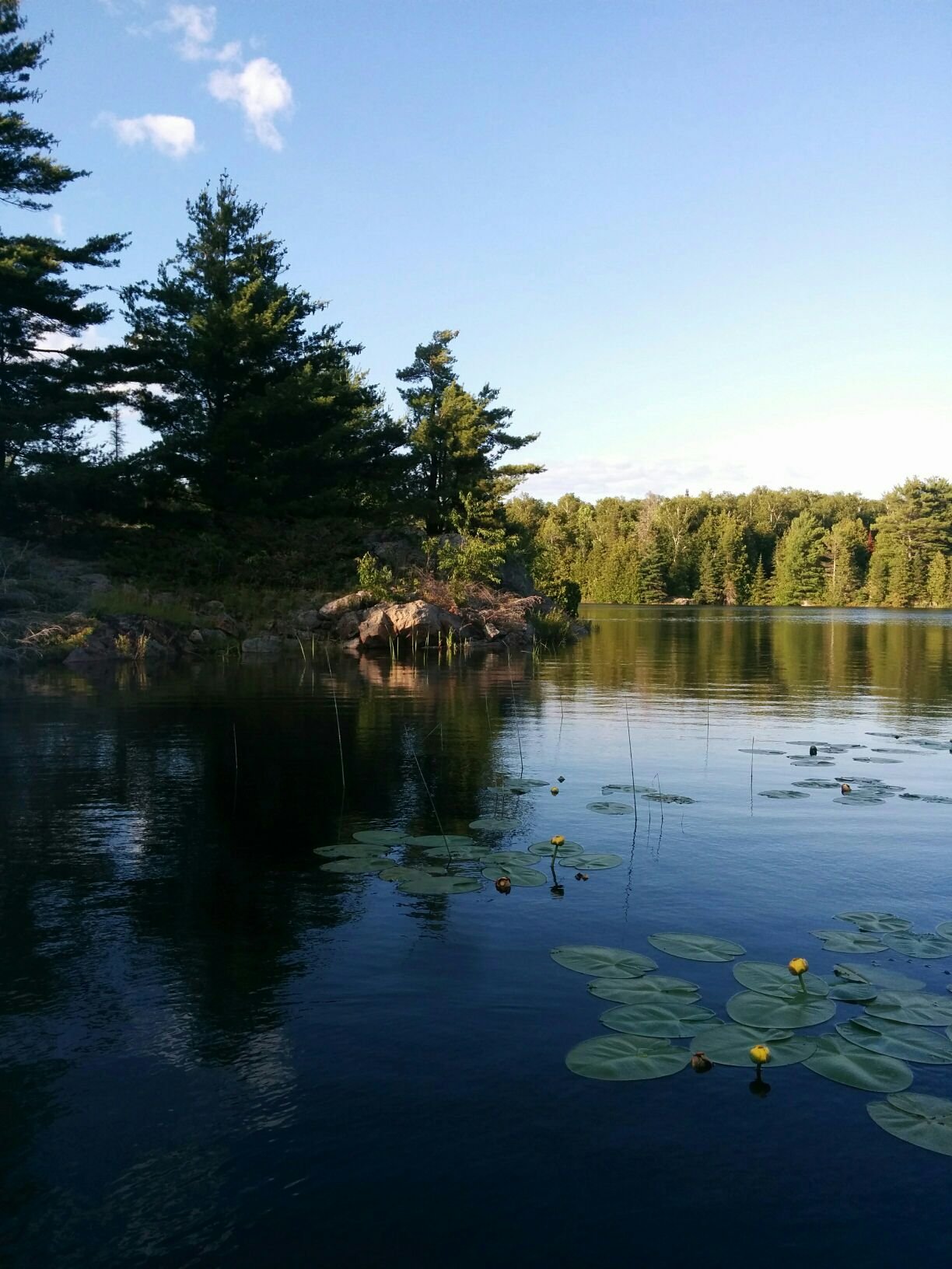
Photo: Star plants (my name) that look like exploding fireworks
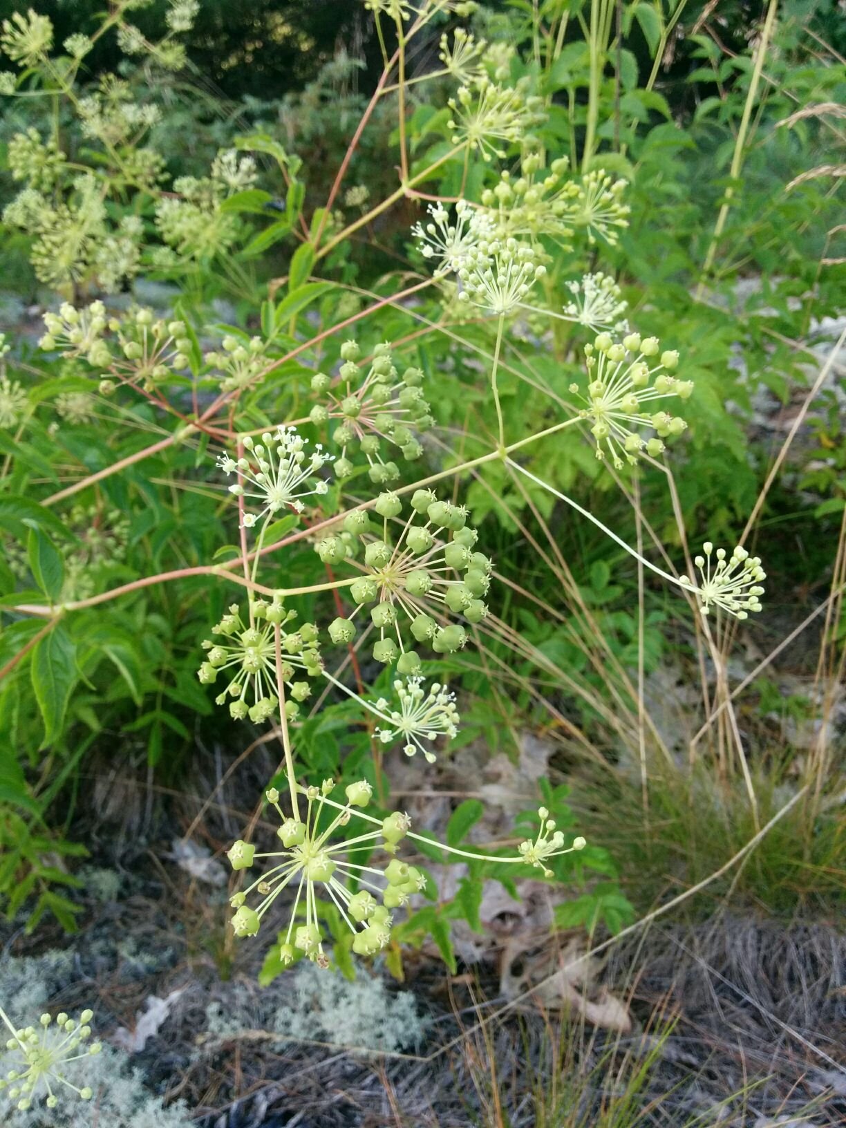
Photo: Boats at Hotham in the morning calm
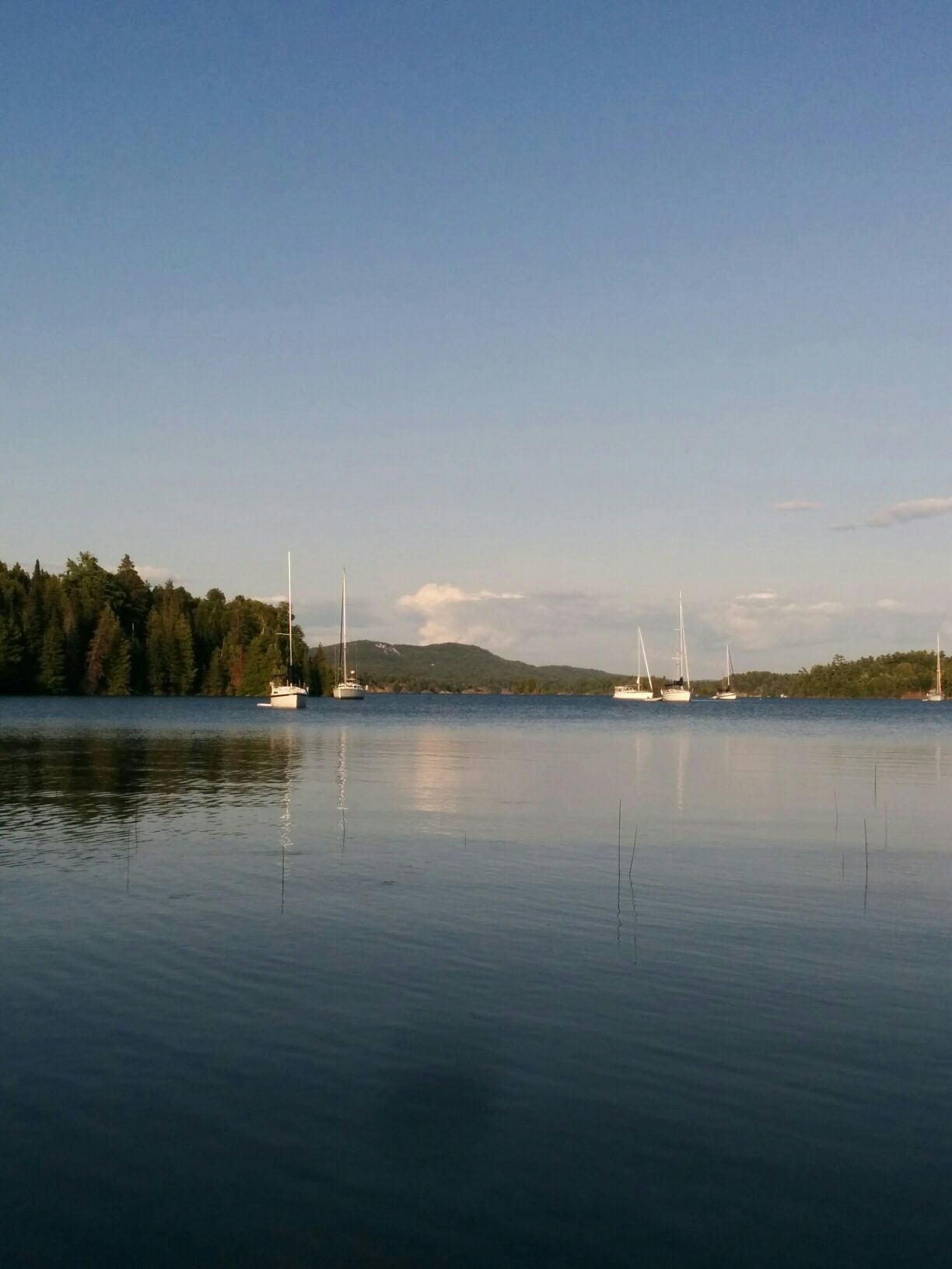
Day 20: The Benjamins. Like The Pool in Bay Fine, the Benjamins are a famous destination in the North Channel and one that we were worried would be crowded. Unlike Bay Fine, it was crowded! Quite a zoo, but so beautiful that we are glad we went. We anchored in the main harbour between North and South Benjamin Islands. There must have been 30 boats including some massive power boats rafted to shore. We arrived early in the day, around lunchtime, and had fun people-watching and boat-watching as other boats came in to anchor while we sat in the cockpit and ate lunch. There was a dead zone just next to us that a later boat said must have been a granite plate on the bottom because 3 boats in succession tried and failed to anchor there. What is special about the Benjamins is they are built from wonderful massive rosy pink granite. It is warm and smooth to walk on. We did a hike southwards in the afternoon and a nice walk after dinner on the flat rocks to the north. We talked to a guy from Indiana (there is a small portion of Indiana that borders on Lake Michigan) and he was waiting for the wind to die enough that he could fly his drone and take pictures. While rowing back to the boat we heard a buzzing overhead and waved.
Photo: Andy and dinghy at South Benjamin
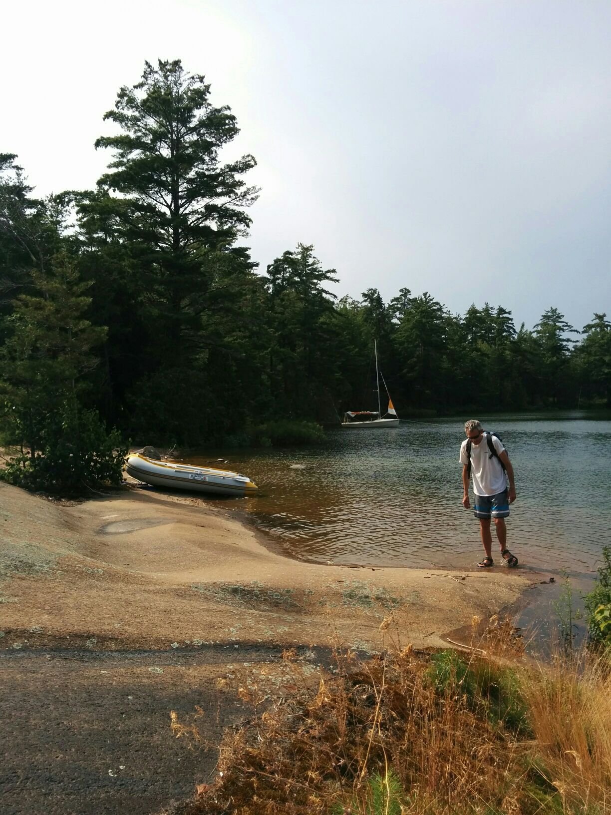
Photo: Lots of boats in the Benjamins
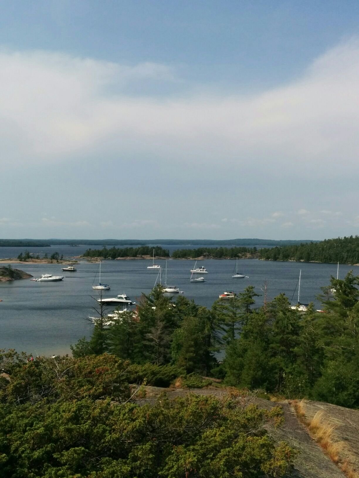
Photo: Flat rock at the north end of South Benjamin in the evening. One giant piece of granite.
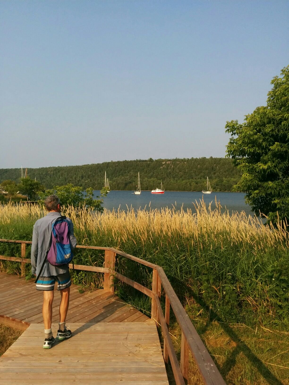
Day 21: Gore Bay, Manitoulin Island. We stayed at the town marina for our second and last provisioning stop of the trip. Gore Bay is a small town at the tip of a broad bay with high bluffs on either side. We hiked up the east bluff in the late afternoon. The next day we ran along the lower road on the west side out to the Janet Head lighthouse.
Photo: Andy on boardwalk in Gore Bay. Some boats anchored out but we were at the town dock for easier errand-running.
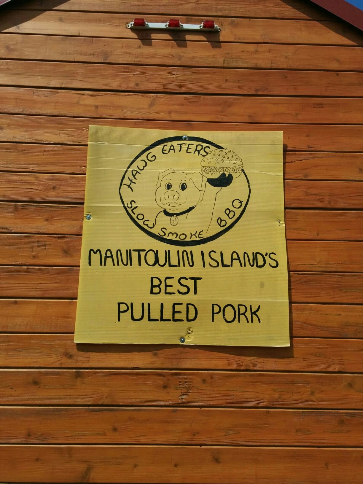
Day 22: Gore Bay to Clapperton Harbour. Before leaving we enjoyed the weekly farmers market, did laundry and groceries, and visited the Harbour Centre where local artists have shops and there's a marine history museum on the top floor. Oh, and had pulled pork sandwiches for lunch, yum.
Photo: Hawg Eaters for lunch. To understand this play on words, know that Haw Eaters is the name for Manitoulin islanders because legend has it in the 19th century they survived one particularly harsh winter by eating hawberries.
Day 23: Clapperton to Heywood Island. Clapperton was perhaps our windiest and rockiest night so far. We didn't even get a chance to go for a dinghy ride to explore because the wind would not stop. We left in high winds with sails reefed (made smaller) and had a fun, exciting sail towards Little Current. Even Andy said this was exciting enough for him so at least now I know what his limit is. After passing through the swing bridge at Little Current, the winds were gentler and we had a nice sail in to Heywood Island. After Clapperton, Heywood was a complete exemplar anchorage - calm and sheltered. I was able to read a book and enjoy strains of what I think was a banjo being played on another boat. It was a perfect lazy summer afternoon, with a view northwards of islands and blue mountains in the distance.
Day 24: Along the Lansdowne Channel to Killarney for a town visit then back to Snug Harbour.
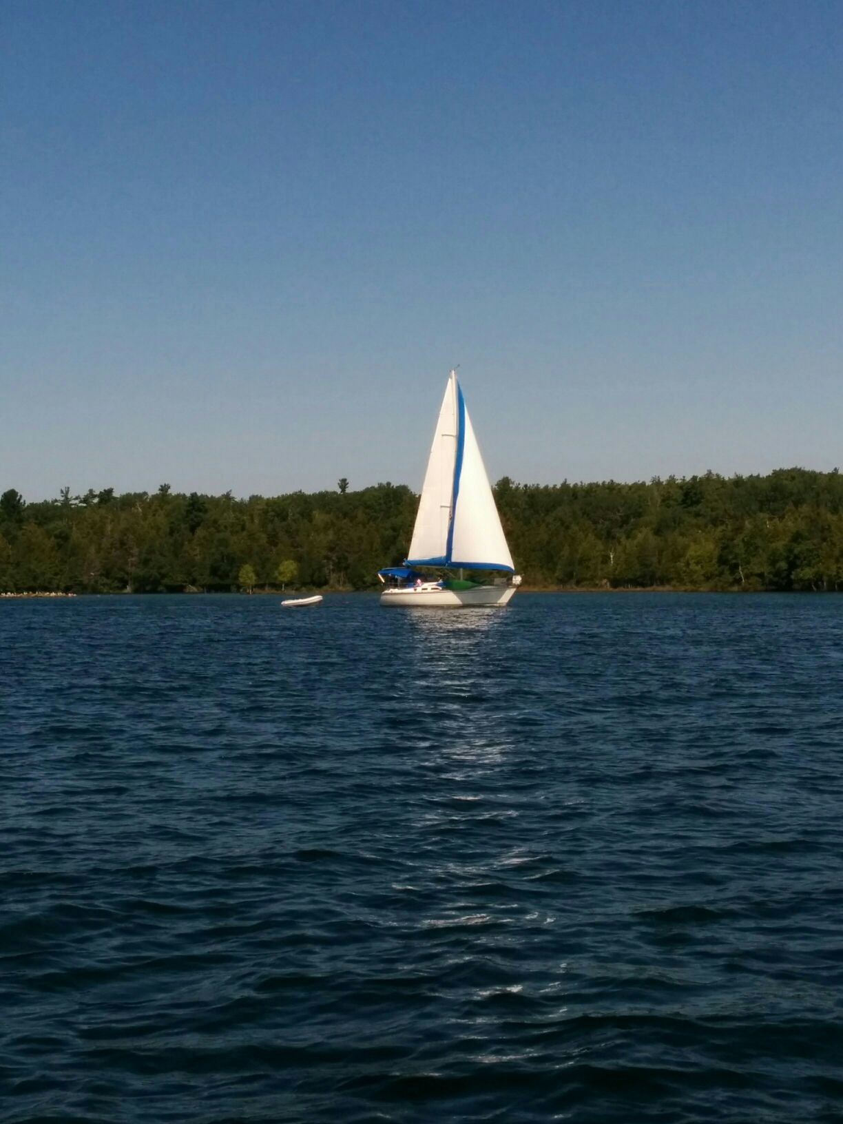
Photo: Boat under sail in the Lansdowne Channel - not Heartbeat but we must look similar.
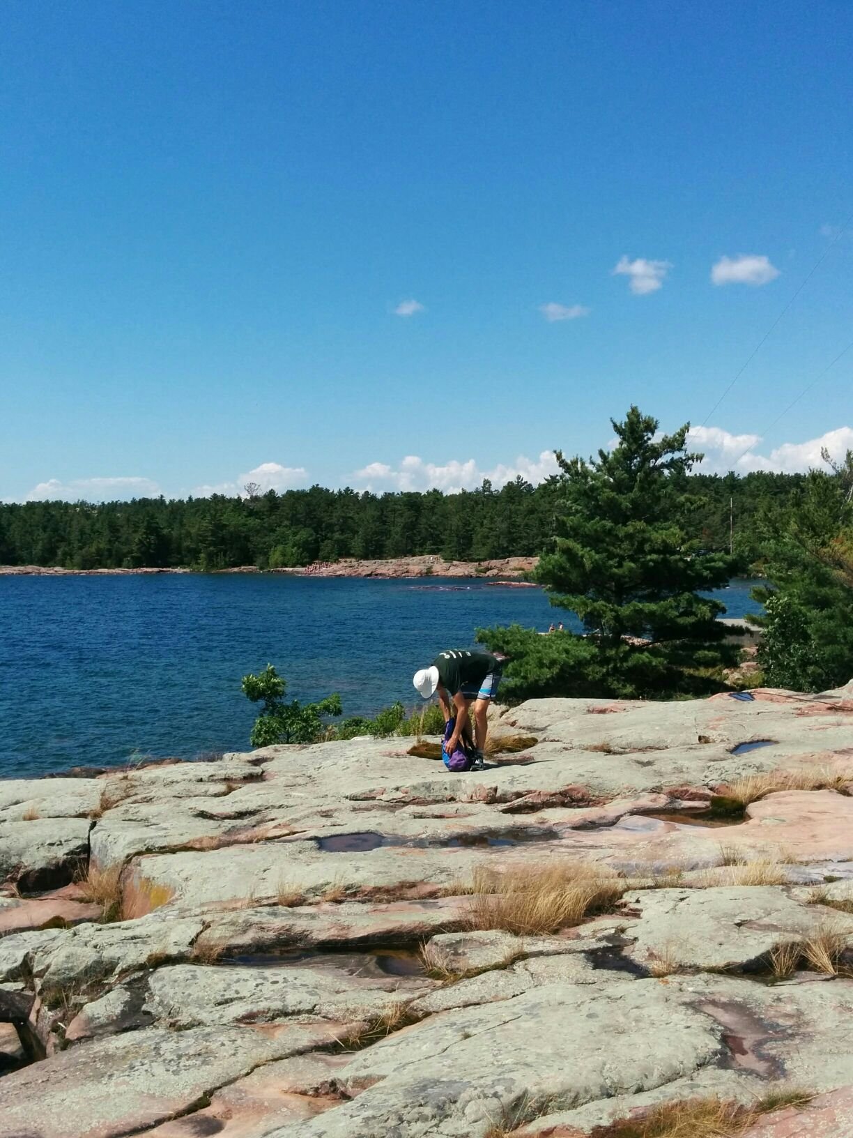
We anchored outside Killarney and dinghied in to town. It's much hotter on shore than on the boat! Walked an hour to the lighthouse and admired the pink rock and sparkling blue seas of the open Georgian Bay. Back in town we treated ourselves to ice cream cones and watched a tour boat with live band proceed down the waterfront. Oh, at our anchorage outside town we found and rescued a floating paddle that turns out to be a stand-up paddleboard paddle. If anyone can use this let me know! It seems like a nice one, and comes apart into two pieces where it is currently stored in our port-side locker.
Photo: Metal boat and partly flooded dock in Killarney. Water levels are over a metre higher than normal.
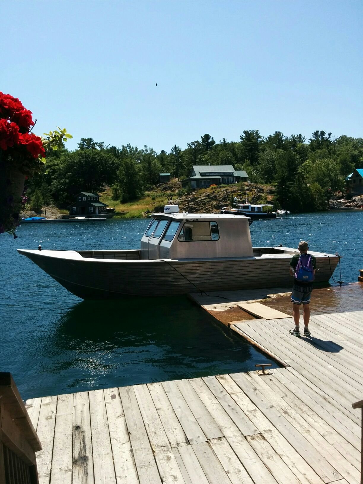
Photo: Pink rock at the Killarney lighthouse
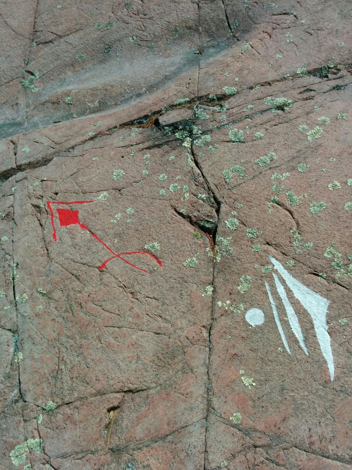
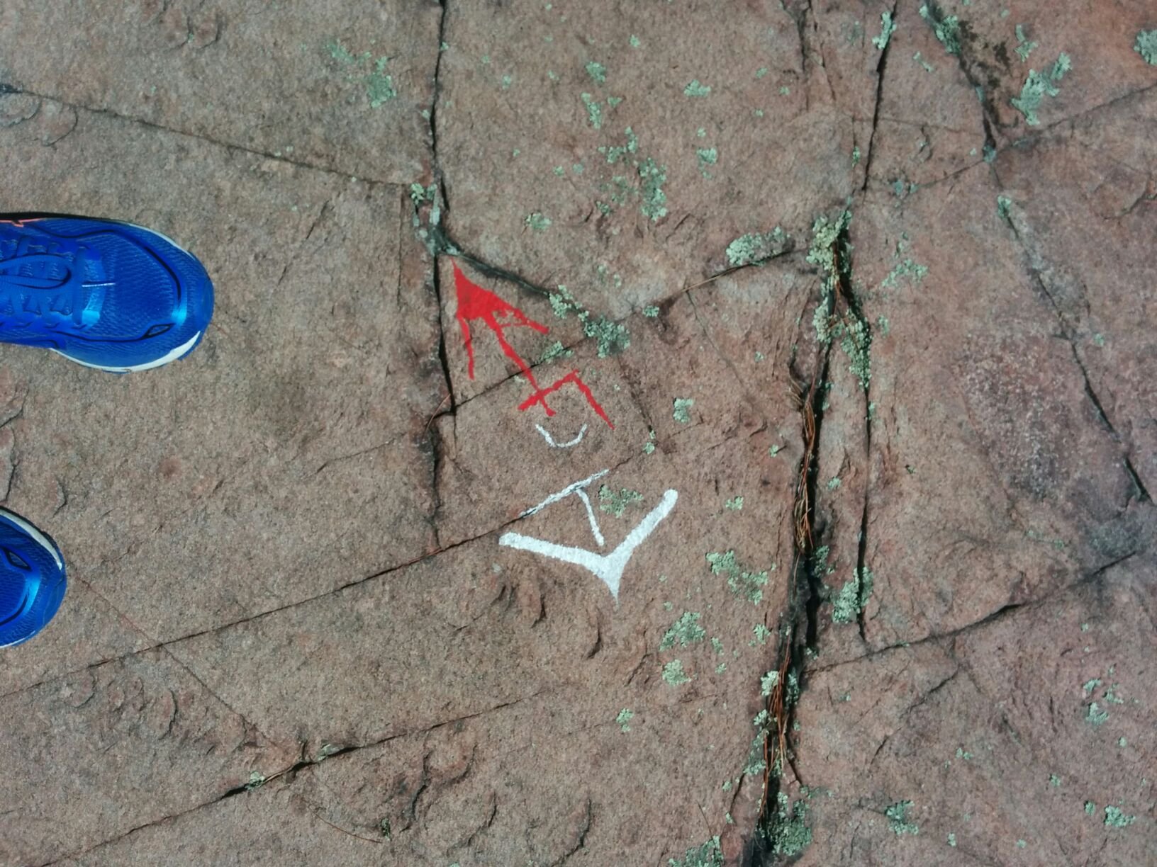
Photos: Whimsical and useful trail markers on the trail to the lighthouse.
The weather forecast looks good for travel tomorrow so we will head out onto the big seas of Georgian Bay on our way back. We have at least two long days of open water sailing ahead of us to get back to the more sheltered waters south of Pointe au Baril.
Until next time, Danielle